Download:
| Tiny | 177x128 | View | Download |
| Small | 355x256 | View | Download |
| Medium | 711x512 | View | Download |
| Original png | 775x558 | View | Download |
| Original as jpg | 775x558 | View | Download |
This image was acquired from
wikimedia. It was marked as Public Domain or CC0 and is free to use. To verify, go to the source and check the information there.
Looking for more info about this image?
Try a Google Reverse Image Search for it.
Try a Google Reverse Image Search for it.
Keywords from Image Description:
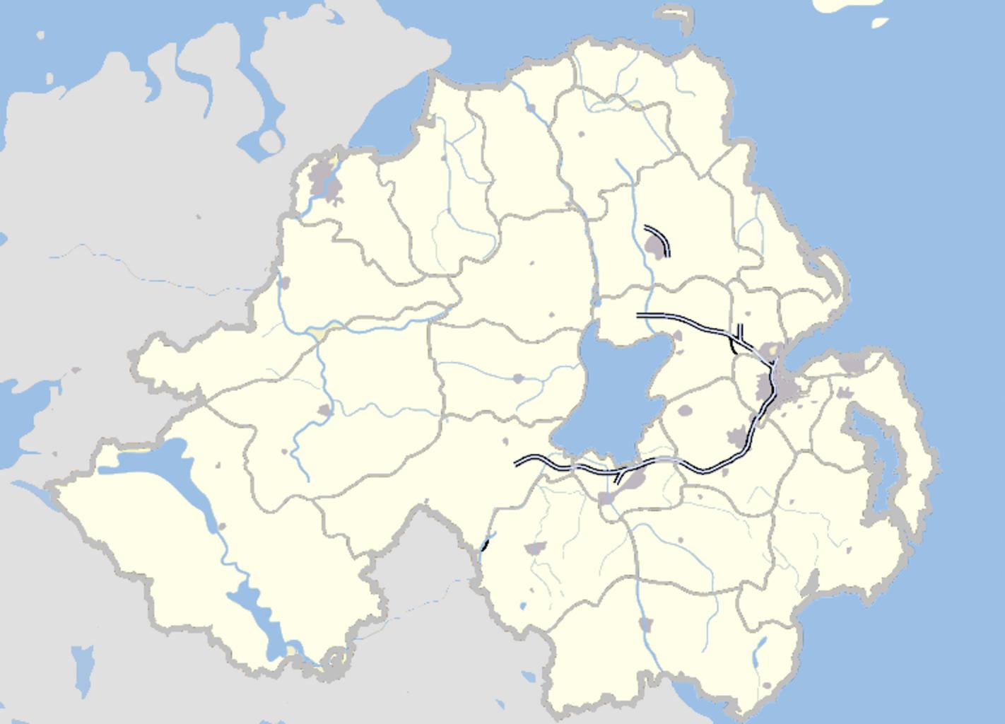
Northern Ireland map grey. locator map Map of Northern Ireland and surrounding seas and territory Features builtup areas in grey water in lightblue and motorways in blue with white stripe Districts of Northern Ireland are marked in grey Based on en wp en Image Northern Ireland map July User hanhil based on work of en User Jza
