
Related Images


Download:
| Tiny | 154x128 | View | Download |
| Small | 308x256 | View | Download |
| Medium | 617x512 | View | Download |
| Large | 1235x1024 | View | Download |
| Original | 4091x3391 | View | Download |
This image was acquired from
wikimedia. It was marked as Public Domain or CC0 and is free to use. To verify, go to the source and check the information there.
Looking for more info about this image?
Try a Google Reverse Image Search for it.
Try a Google Reverse Image Search for it.
Keywords from Image Description:
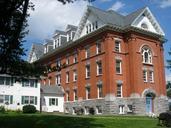
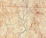
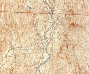
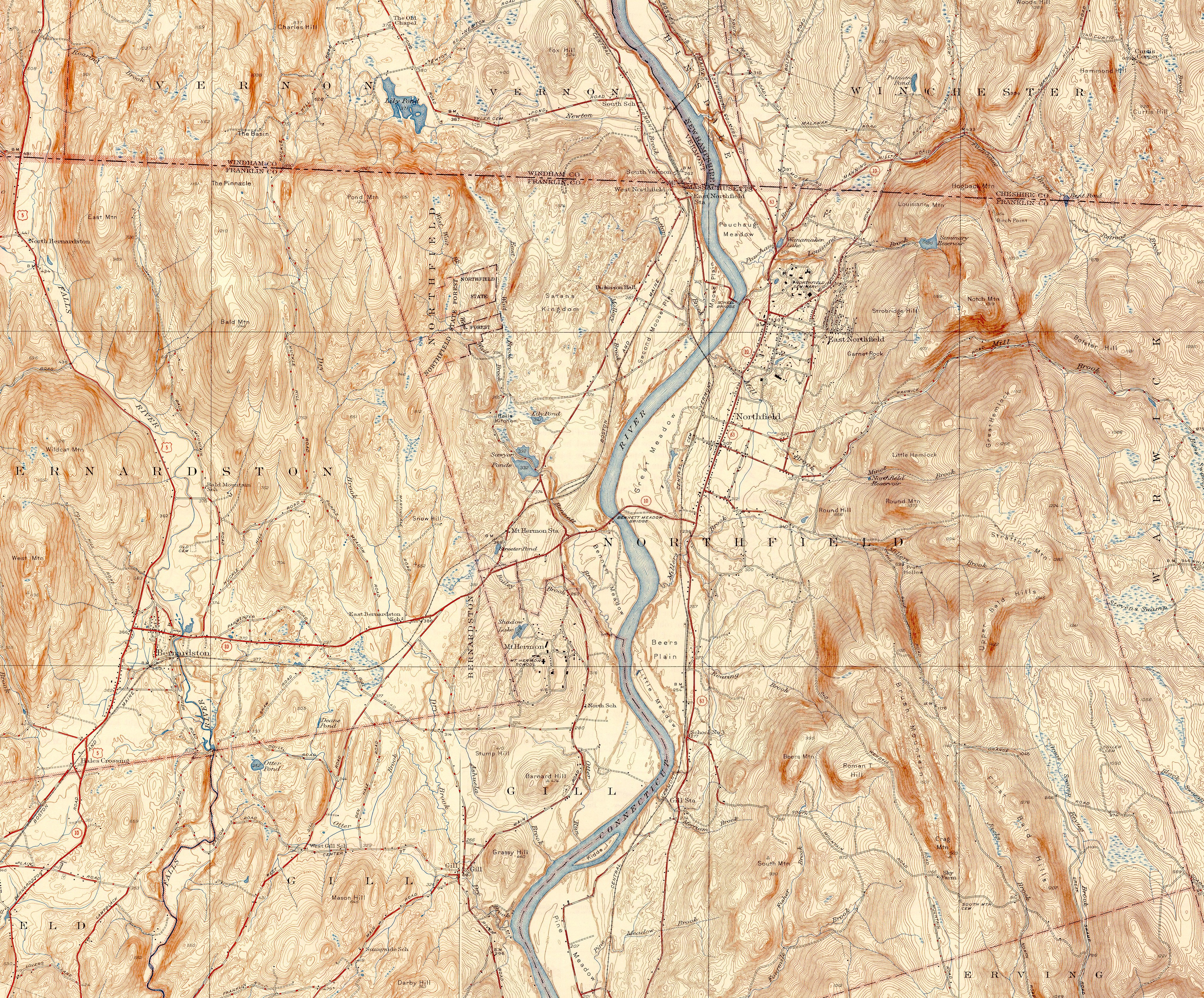
Northfield Mount Hermon School topo map. Topographic map of the Northfield Mount Hermon School and its environs Gill Massachusetts USA This map shows both the Northfield and Mount Hermon campuses as well as the surrounding terrain town boundaries and roads This image is stitched together from the USGS Minute Series maps for the