Related Images


Download:
| Tiny | 92x128 | View | Download |
| Small | 185x256 | View | Download |
| Medium | 371x512 | View | Download |
| Large | 742x1024 | View | Download |
| Original tiff | 3952x5450 | View | Download |
| Original as jpg | 3952x5450 | View | Download |
This image was acquired from
wikimedia. It was marked as Public Domain or CC0 and is free to use. To verify, go to the source and check the information there.
Looking for more info about this image?
Try a Google Reverse Image Search for it.
Try a Google Reverse Image Search for it.
Keywords from Image Description:
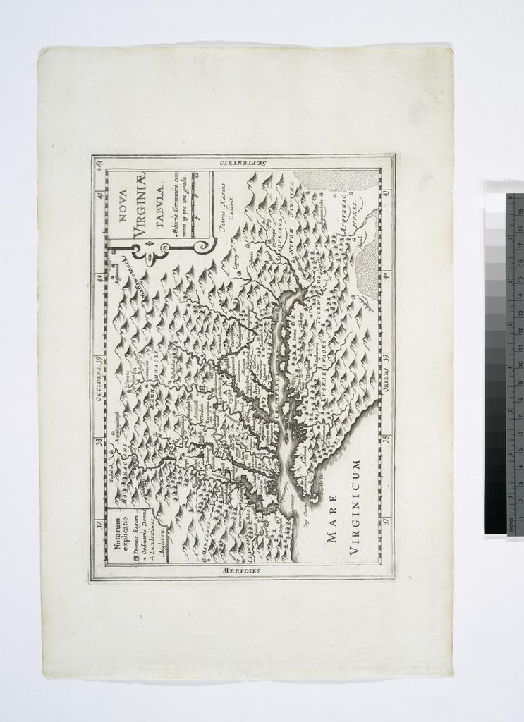
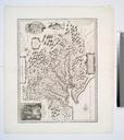
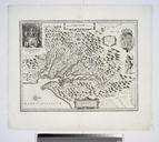
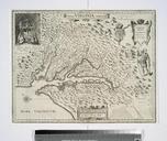
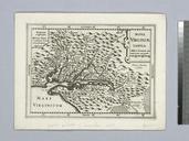
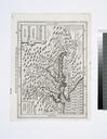
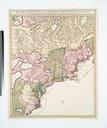
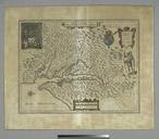
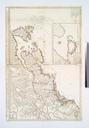
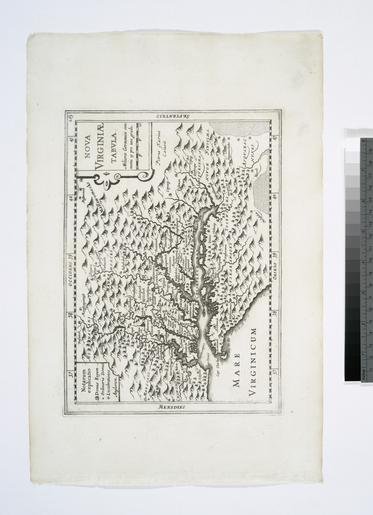
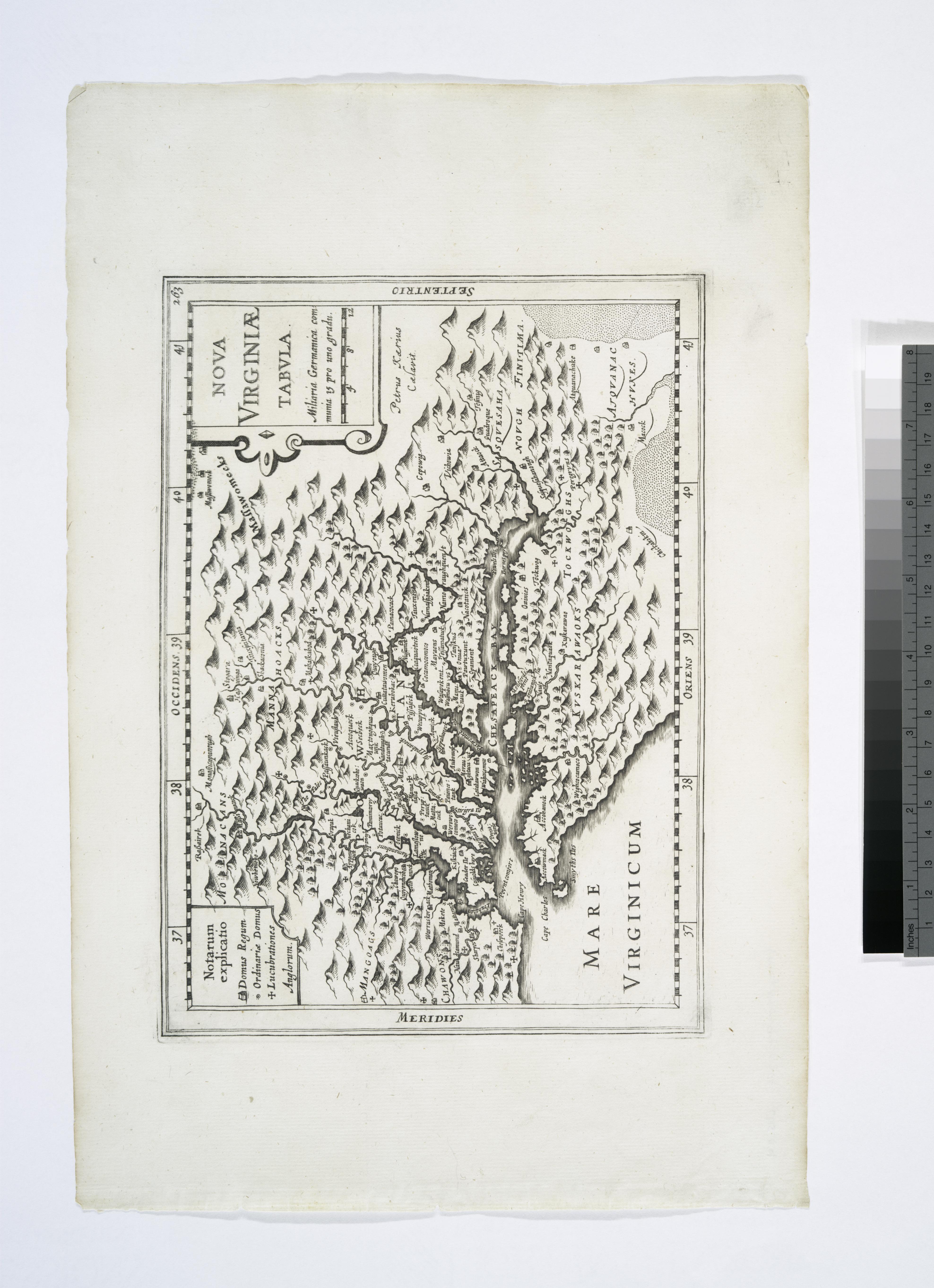
Nova Virginiae tabula NYPL b. en Appears in Du Sauzet's Atlas portatif At upper right corner Deriative State of Smith's map of Virginia according to Coolie Verner in Tooley Lawrence Slaughter Collection National Endowment for the Humanities Grant for Access to Early Maps of the Middle Atlantic Seaboard Oriented with north towards