Download:
| Tiny | 184x128 | View | Download |
| Small | 368x256 | View | Download |
| Medium | 736x512 | View | Download |
| Large | 1472x1024 | View | Download |
| Original svg | 3604x2506 | View | Download |
| Original as jpg | 3604x2506 | View | Download |
This image was acquired from
wikimedia. It was marked as Public Domain or CC0 and is free to use. To verify, go to the source and check the information there.
Looking for more info about this image?
Try a Google Reverse Image Search for it.
Try a Google Reverse Image Search for it.
Keywords from Image Description:
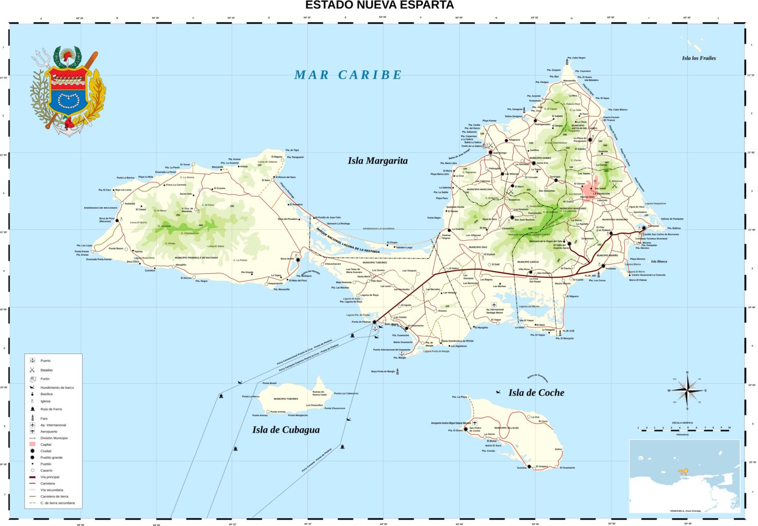
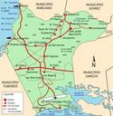
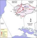
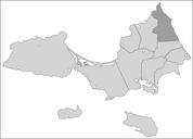
Nueva Esparta Mapa Vial.svg stato Nueba Esparta Estat de Nueva Esparta Nueva Esparta Karte von Nueva Esparta Nueva Esparta New Sparta is one of the states estados of Venezuela It comprises Margarita Island by far the largest and most important island Coche and uninhabited Cubagua The state is the smallest one in area and is located
