
Related Images


Download:
| Tiny | 183x128 | View | Download |
| Small | 366x256 | View | Download |
| Medium | 732x512 | View | Download |
| Original png | 774x541 | View | Download |
| Original as jpg | 774x541 | View | Download |
This image was acquired from
wikimedia. It was marked as Public Domain or CC0 and is free to use. To verify, go to the source and check the information there.
Looking for more info about this image?
Try a Google Reverse Image Search for it.
Try a Google Reverse Image Search for it.
Keywords from Image Description:
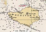
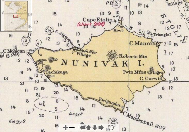
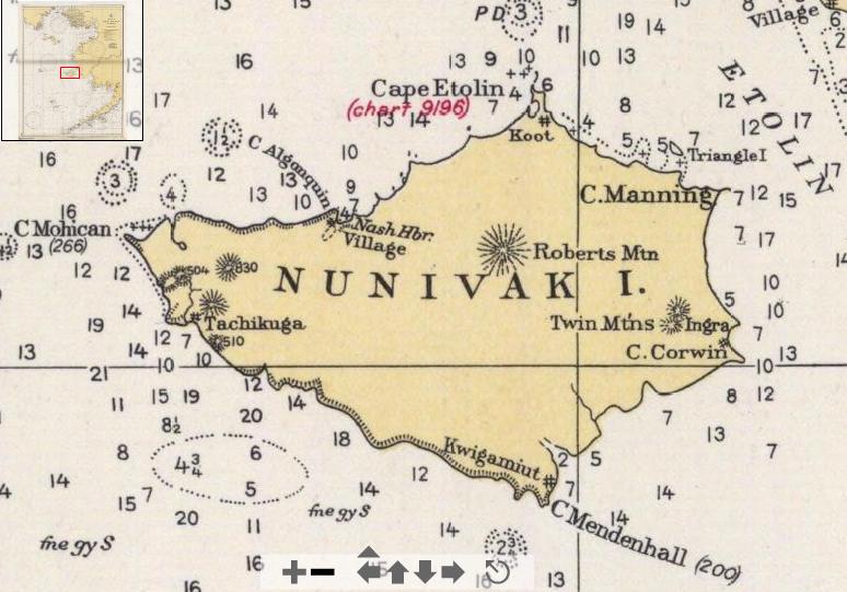
Nunivak USCGS. en Detail of USCGS chart Bering Sea showing Nunivak Island This version shows the names and locations of the principal capes and of historic native villages Historical Maps and charts Project noaa gov htm zoomifyImagePath US Coastand Geodetic Survey PDUSGov maps Maps of Nunivak Island Old maps of Alaska