
Related Images


Download:
| Tiny | 189x128 | View | Download |
| Small | 378x256 | View | Download |
| Medium | 756x512 | View | Download |
| Large | 1513x1024 | View | Download |
| Original png | 4964x3358 | View | Download |
| Original as jpg | 4964x3358 | View | Download |
This image was acquired from
wikimedia. It was marked as Public Domain or CC0 and is free to use. To verify, go to the source and check the information there.
Looking for more info about this image?
Try a Google Reverse Image Search for it.
Try a Google Reverse Image Search for it.
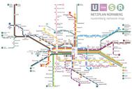
Keywords from Image Description:
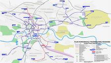
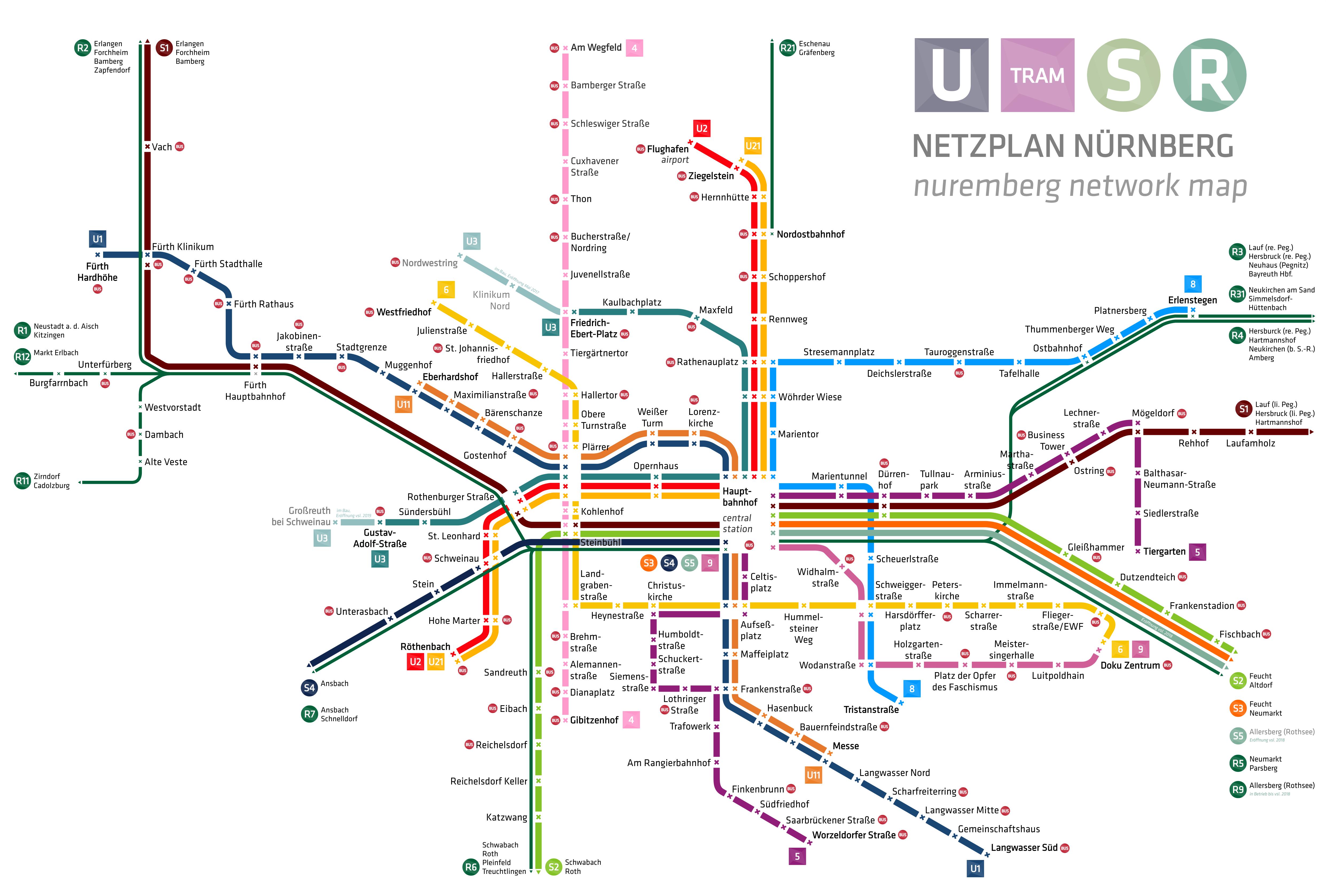
Nuremberg network map. en nuremberg city network map with underground tramway suburban railway and regional railway UBahn Straenbahn SBahn und Regionalbahnen own HerrMay Cczero Public transport maps of Nuremberg VerkehrsAktiengesellschaft Nrnberg Verkehrsverbund Groraum Nrnberg