Related Images


Download:
| Tiny | 215x128 | View | Download |
| Small | 431x256 | View | Download |
| Medium | 863x512 | View | Download |
| Original svg | 1450x860 | View | Download |
| Original as jpg | 1450x860 | View | Download |
This image was acquired from
wikimedia. It was marked as Public Domain or CC0 and is free to use. To verify, go to the source and check the information there.
Looking for more info about this image?
Try a Google Reverse Image Search for it.
Try a Google Reverse Image Search for it.
Keywords from Image Description:
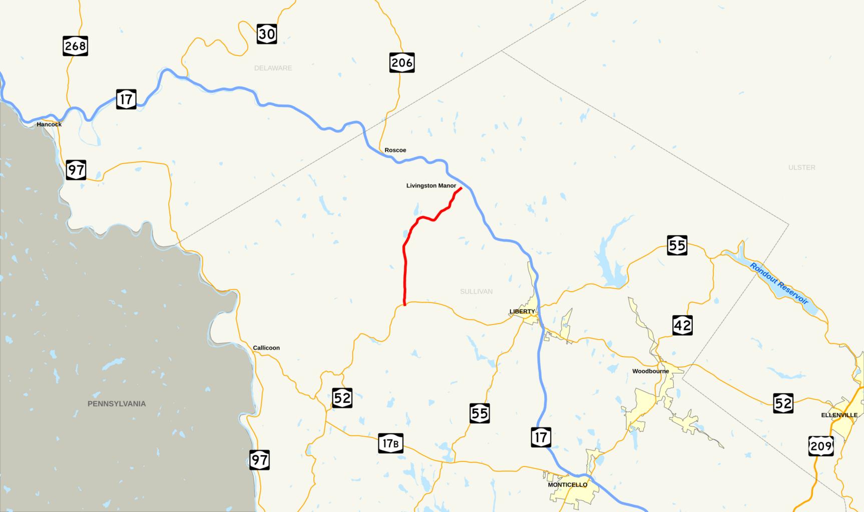
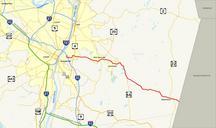
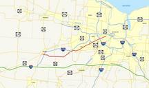
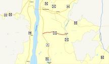
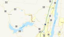
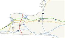
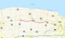
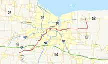
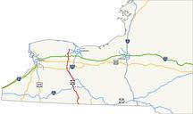
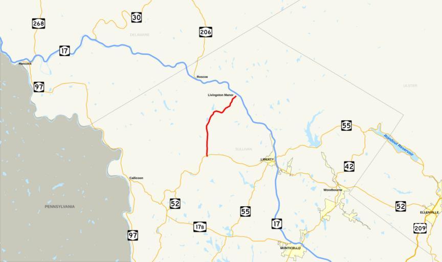
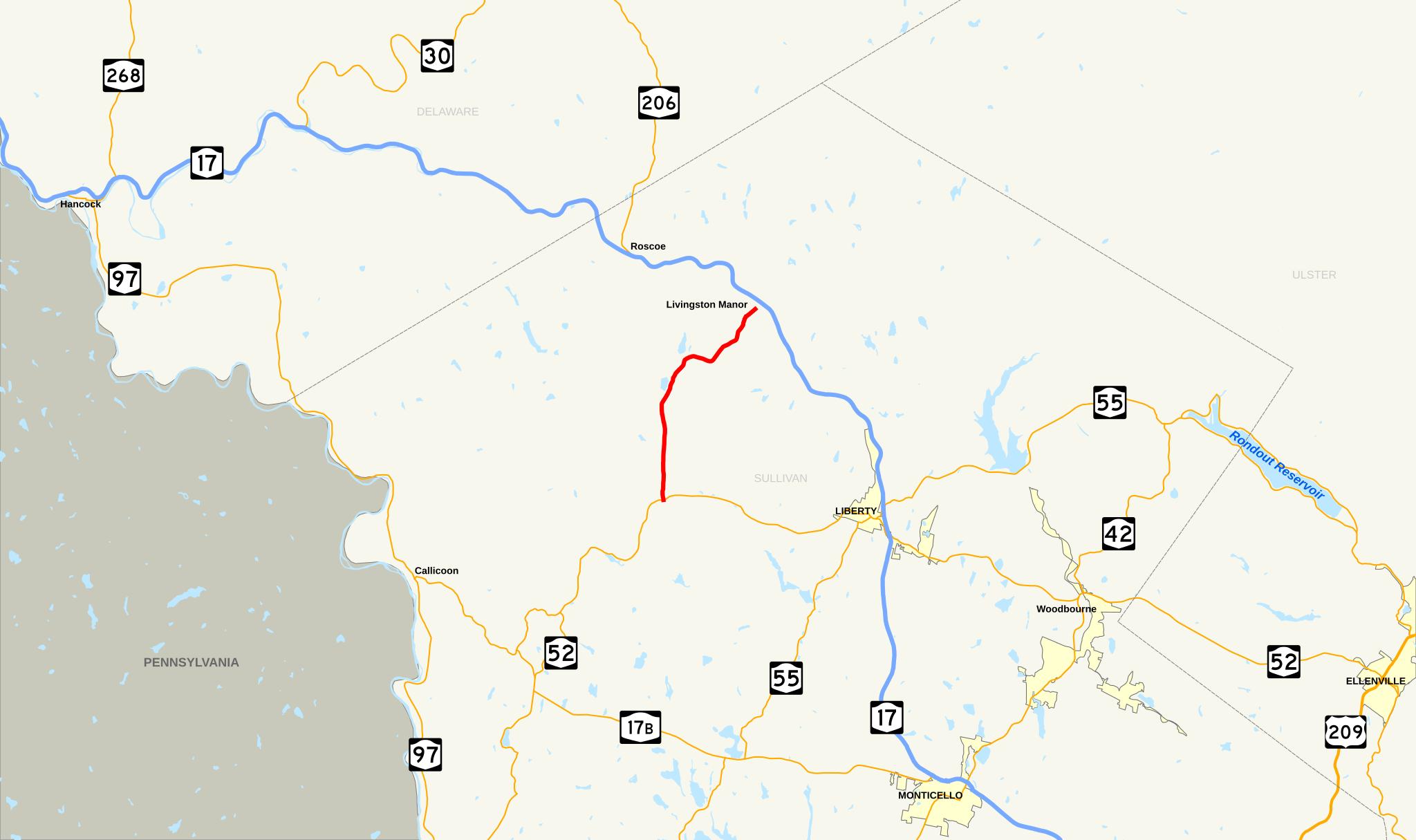
NY Route map.svg New York State Route that existed during the Made using Quantum GIS GIS data from the United States Census Bureau esri cfm TIGER and the Federal Highway Administration fhwa dot gov NHPN and public domain SVG shields available on Commons The routing of NY is now designated as County Route by Sullivan County