
Related Images


Download:
| Tiny | 104x128 | View | Download |
| Small | 209x256 | View | Download |
| Medium | 418x512 | View | Download |
| Original svg | 648x792 | View | Download |
| Original as jpg | 648x792 | View | Download |
This image was acquired from
wikimedia. It was marked as Public Domain or CC0 and is free to use. To verify, go to the source and check the information there.
Looking for more info about this image?
Try a Google Reverse Image Search for it.
Try a Google Reverse Image Search for it.
Keywords from Image Description:
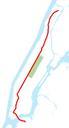
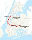
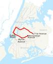
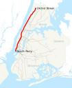
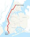
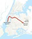
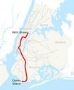
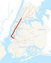
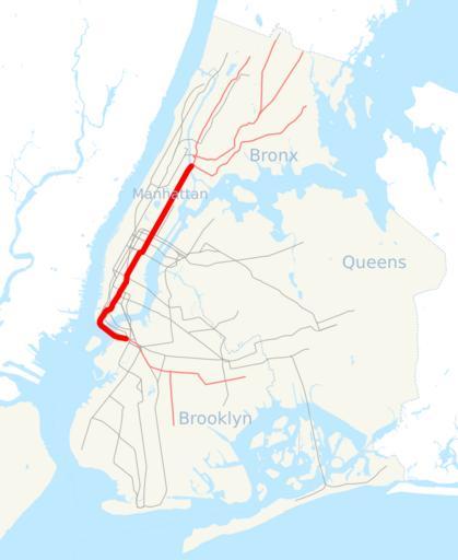
NYCS map Lexington Avenue Line.svg This is map showing the New York City Subway's Lexington Avenue Line and the services that feed into it It was created with TIGER GIS data water and boundaries and my own data subway lines traced on TIGER road data If you would like copy of the subway data email me NYC Subway line maps Lexington