
Related Images


Download:
| Tiny | 128x128 | View | Download |
| Small | 256x256 | View | Download |
| Medium | 512x512 | View | Download |
| Original png | 960x960 | View | Download |
| Original as jpg | 960x960 | View | Download |
This image was acquired from
wikimedia. It was marked as Public Domain or CC0 and is free to use. To verify, go to the source and check the information there.
Looking for more info about this image?
Try a Google Reverse Image Search for it.
Try a Google Reverse Image Search for it.
Keywords from Image Description:
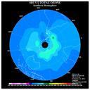
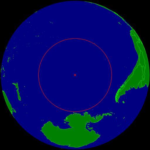
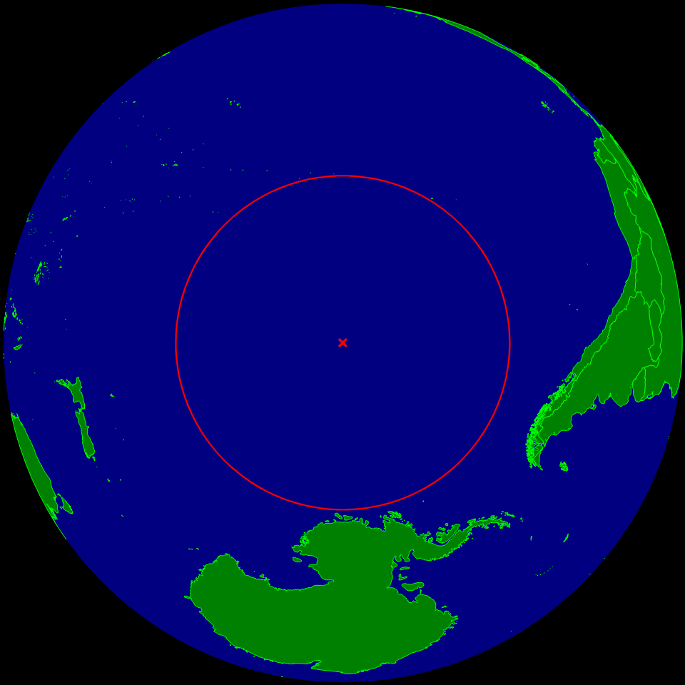
Oceanic pole of inaccessibility. map pole of inaccessibility in the Southern Pacific ocean The circle indicates the distance to the nearest landmasses Antarctica Easter Island and Ducie Island The circle is deliberately bit too small to ensure that the islands are still visible Pol der Unzugnglichkeit im sdlichen Pazifik Der Kreis