Related Images


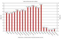
Download:
| Tiny | 184x128 | View | Download |
| Small | 369x256 | View | Download |
| Original png | 520x360 | View | Download |
| Original as jpg | 520x360 | View | Download |
This image was acquired from
wikimedia. It was marked as Public Domain or CC0 and is free to use. To verify, go to the source and check the information there.
Looking for more info about this image?
Try a Google Reverse Image Search for it.
Try a Google Reverse Image Search for it.
Keywords from Image Description:
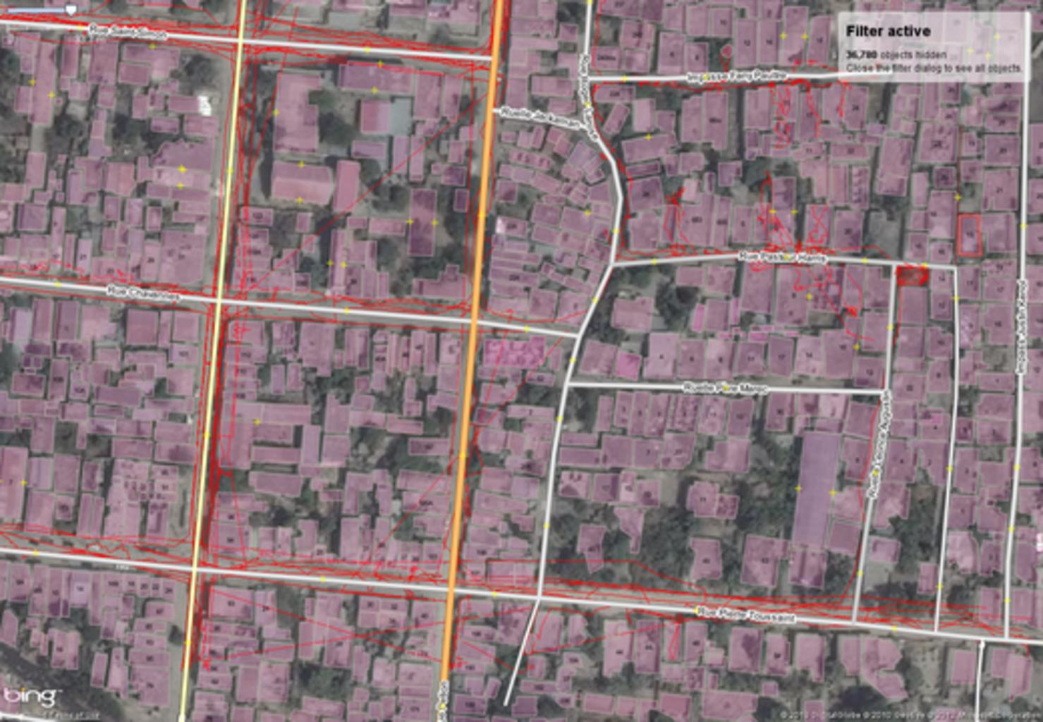
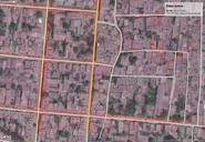
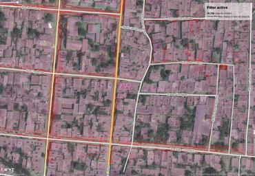
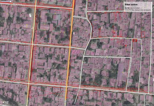
Offset add to data en. en Some minor portions of this image feature bing aerial imagery Software screenshots and other illustrations of OpenStreetMap editing processes will often include some bing imagery Bing imagery is not open but is generously made available to the OpenStreetMap project for deriving open map data Such images