
Related Images


Download:
| Tiny | 160x128 | View | Download |
| Small | 320x256 | View | Download |
| Medium | 640x512 | View | Download |
| Large | 1280x1024 | View | Download |
| Original | 1440x1152 | View | Download |
This image was acquired from
wikimedia. It was marked as Public Domain or CC0 and is free to use. To verify, go to the source and check the information there.
Looking for more info about this image?
Try a Google Reverse Image Search for it.
Try a Google Reverse Image Search for it.
Keywords from Image Description:
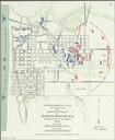
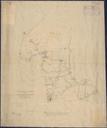
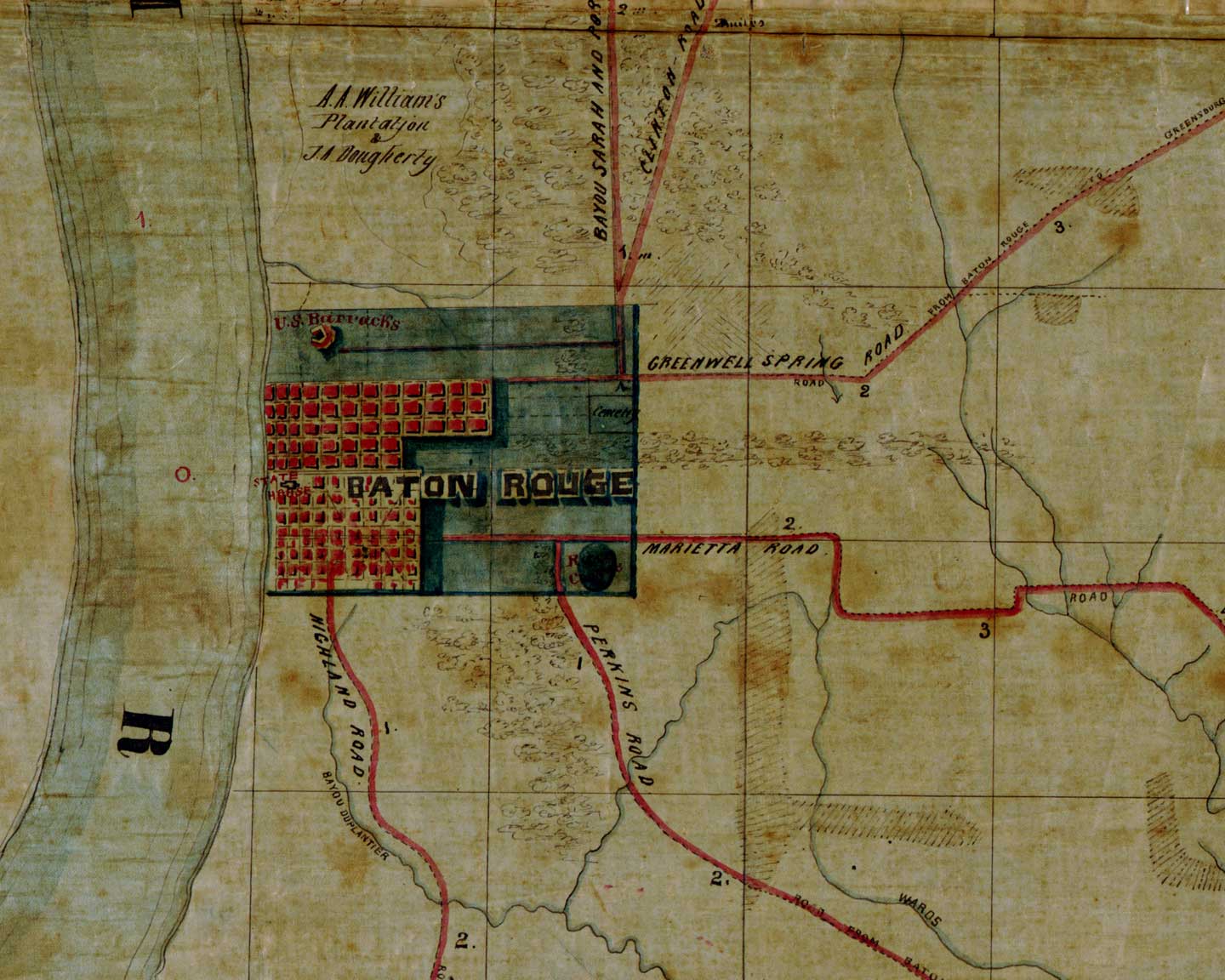
Old baton rouge. Map of old Baton Rouge Detail from Map of the region east and north of Baton Rouge showing batteries on the Mississippi north of Port Hudson According to the Library of Congress catalog entry the creation date of the map is that is this date is probable but not certain Original work loc gov gmd cw PDUSGov Old