
Related Images

Download:
| Tiny | 165x128 | View | Download |
| Small | 330x256 | View | Download |
| Medium | 661x512 | View | Download |
| Original | 664x514 | View | Download |
This image was acquired from
wikimedia. It was marked as Public Domain or CC0 and is free to use. To verify, go to the source and check the information there.
Looking for more info about this image?
Try a Google Reverse Image Search for it.
Try a Google Reverse Image Search for it.
Keywords from Image Description:
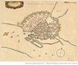
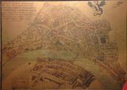
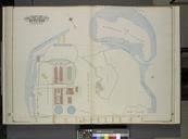
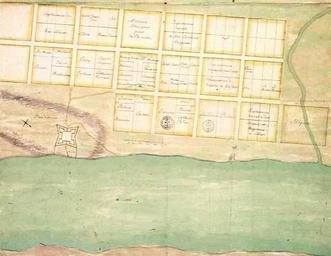
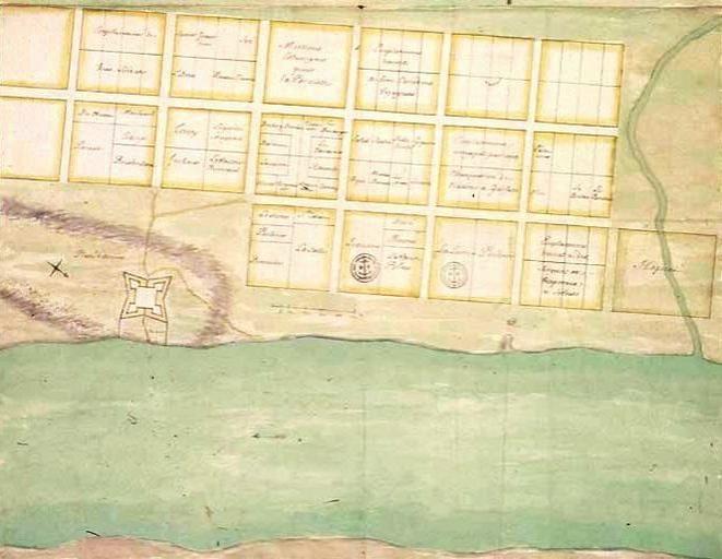
Old Mobile Map . Plan de la ville et du Fort de La Mobile Dpt des Fortifications des Colonies Louisiane III PFB usouthal edu htm Plan for the settlement of La Mobile near TwentySeven Mile Bluff in Mobile County Alabama The drawing was presumably prepared by Charles Levasseur in The map is now housed in the archives of the Centre