Related Images


Download:
| Tiny | 176x128 | View | Download |
| Small | 352x256 | View | Download |
| Medium | 704x512 | View | Download |
| Large | 1408x1024 | View | Download |
| Original | 9254x6726 | View | Download |
This image was acquired from
wikimedia. It was marked as Public Domain or CC0 and is free to use. To verify, go to the source and check the information there.
Looking for more info about this image?
Try a Google Reverse Image Search for it.
Try a Google Reverse Image Search for it.
Keywords from Image Description:
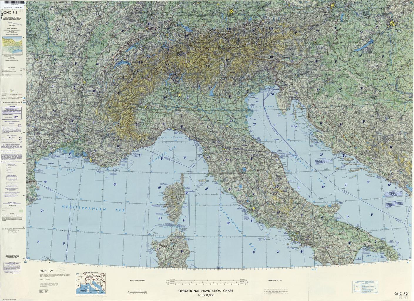
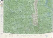
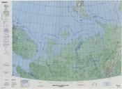
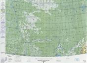
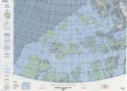
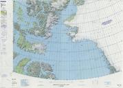
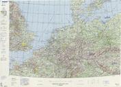
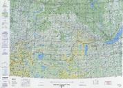
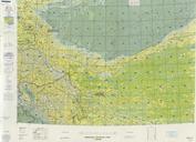
Operational Navigation Chart th edition. scale Operational Navigation Chart Sheet th edition Covers Albania Austria Czechoslovakia Federal Republic of Germany France Hungary Italy Liechtenstein Monaco San Marino Spain Switzerland Yugoslavia Lambert Conformal Conic Projection Standard Parallels and Center longitude txupclmapsoclcf