Download:
| Tiny | 184x128 | View | Download |
| Small | 369x256 | View | Download |
| Medium | 738x512 | View | Download |
| Original | 1292x896 | View | Download |
This image was acquired from
wikimedia. It was marked as Public Domain or CC0 and is free to use. To verify, go to the source and check the information there.
Looking for more info about this image?
Try a Google Reverse Image Search for it.
Try a Google Reverse Image Search for it.
Keywords from Image Description:
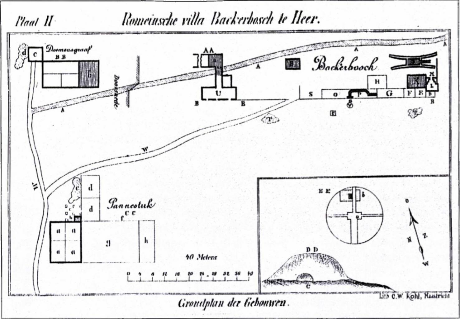
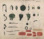
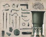
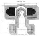
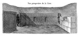
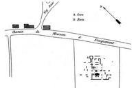
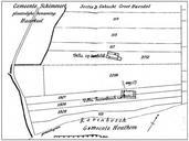
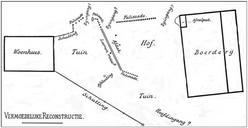
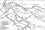
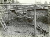
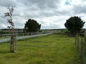
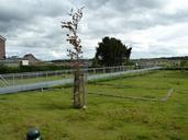
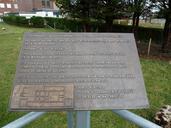
Opgraving Romeinse villa Backerbosch plattegrond Habets . en Historic map of the archaeological excavation of the Roman Villa Backerbosch in Cadier en Keer near Maastricht the Netherlands Jager de Plangebied Backerbosch Gemeente Margraten Een Aanvullende Archeologische Inventarisatie RAAPrapport Amsterdam Jozef Habets other
