Related Images


Download:
| Tiny | 154x128 | View | Download |
| Small | 309x256 | View | Download |
| Medium | 618x512 | View | Download |
| Original gif | 712x589 | View | Download |
| Original as jpg | 712x589 | View | Download |
This image was acquired from
wikimedia. It was marked as Public Domain or CC0 and is free to use. To verify, go to the source and check the information there.
Looking for more info about this image?
Try a Google Reverse Image Search for it.
Try a Google Reverse Image Search for it.
Keywords from Image Description:
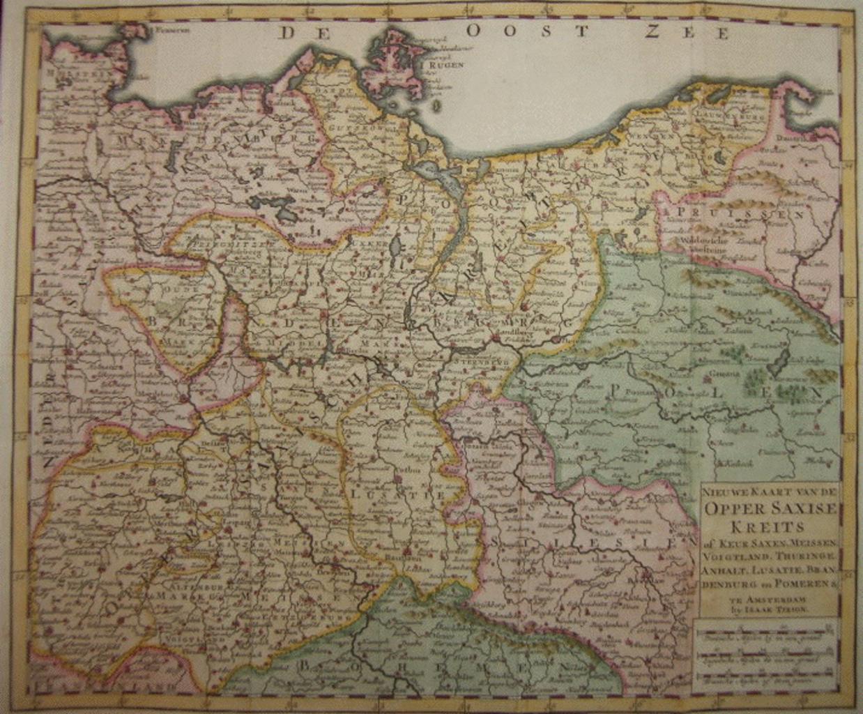
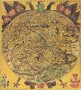
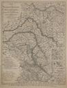
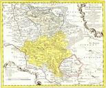
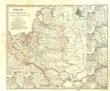
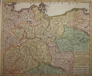
OpperSaxiseKreits. Karte des oberschsischen Reichskreises in der ersten Hlfte des Jahrhunderts herausgegeben von dem AMsterdamer Verleger Isaak Tirion Map of the Upper Saxonian Region of the Holy Roman Empire edited by Isaak Tirion bookseller an editor in Amsterdam found in the internet Ulamm February UTC PDold Maps made in