Related Images
Download:
| Tiny | 86x128 | View | Download |
| Small | 172x256 | View | Download |
| Medium | 345x512 | View | Download |
| Original | 675x1000 | View | Download |
This image was acquired from
wikimedia. It was marked as Public Domain or CC0 and is free to use. To verify, go to the source and check the information there.
Looking for more info about this image?
Try a Google Reverse Image Search for it.
Try a Google Reverse Image Search for it.
Keywords from Image Description:
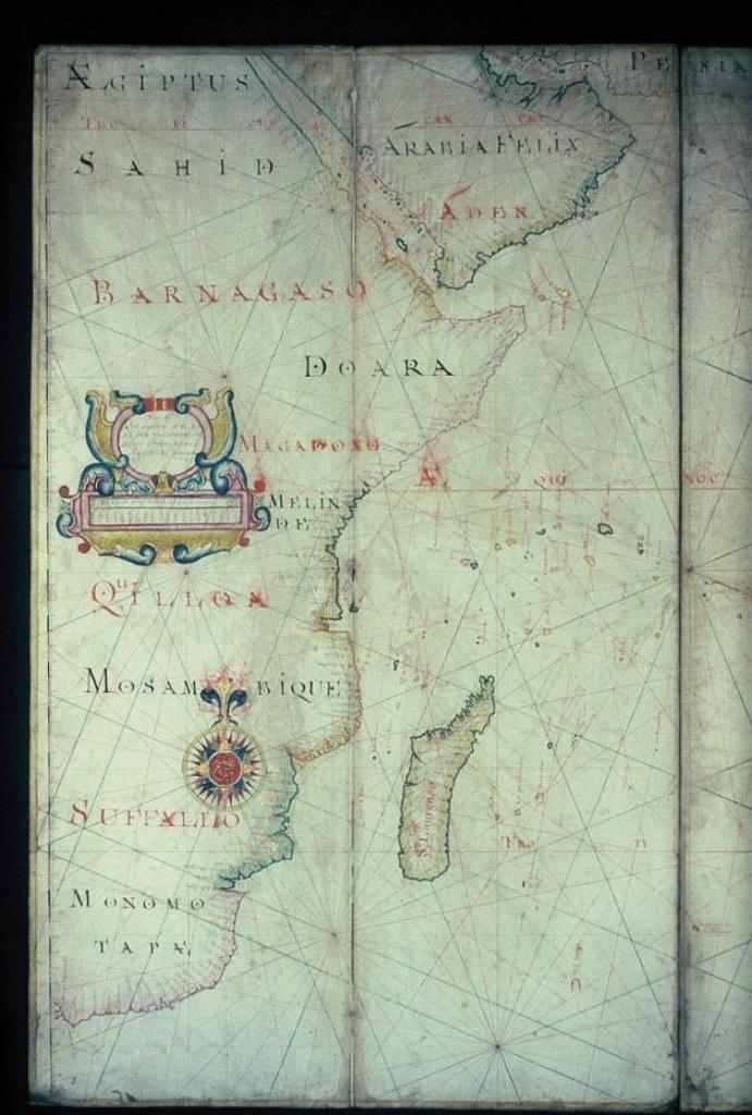
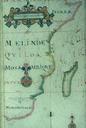
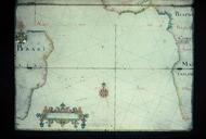
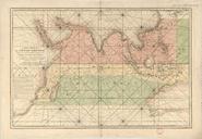
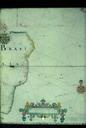
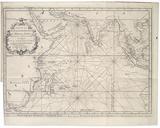
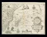
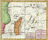
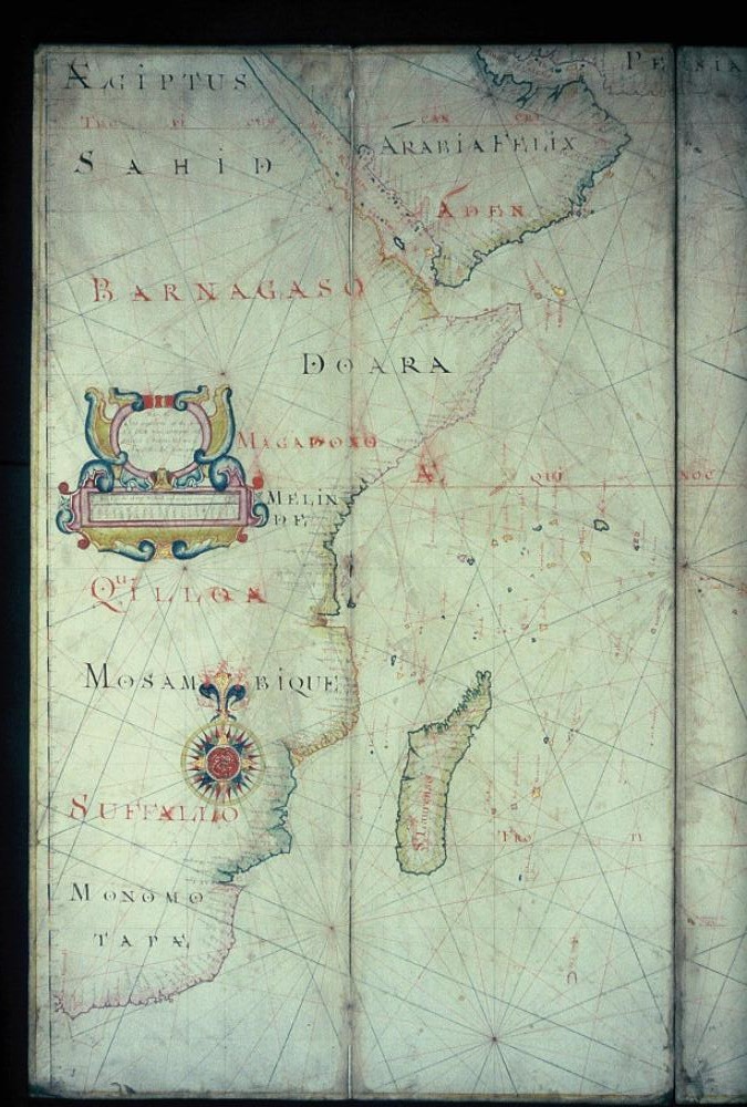
Oriental Navigation Indian Ocean and Madagascar. Mozambique with Madagascar Portolan chart of the western Indian Ocean showing much of Africa Source mapsxxame Joel Gascoyne bodleian ox ac uk The Bodleian Libraries Oxford dPDArt PDold ccby map date print date The Bodleian Libraries Oxford accession number other versions Bodleian