
Related Images


Download:
| Tiny | 102x128 | View | Download |
| Small | 204x256 | View | Download |
| Medium | 409x512 | View | Download |
| Original | 691x863 | View | Download |
This image was acquired from
wikimedia. It was marked as Public Domain or CC0 and is free to use. To verify, go to the source and check the information there.
Looking for more info about this image?
Try a Google Reverse Image Search for it.
Try a Google Reverse Image Search for it.
Keywords from Image Description:
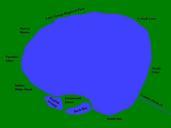
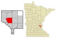
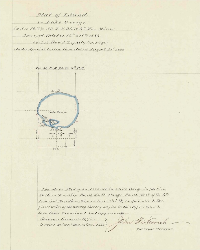
Originalplatgreenwaldisland. Image capture of original plat map of Lake George in Anoka County Mn These images are copyright free The lmic state mn us php township range direction original PDF's are archived on the lmic state mn us Land Management Information Center website The Minesota History Society tracks these plats by