
Related Images


Download:
| Tiny | 87x128 | View | Download |
| Small | 175x256 | View | Download |
| Medium | 350x512 | View | Download |
| Large | 701x1024 | View | Download |
| Original | 10507x15328 | View | Download |
This image was acquired from
wikimedia. It was marked as Public Domain or CC0 and is free to use. To verify, go to the source and check the information there.
Looking for more info about this image?
Try a Google Reverse Image Search for it.
Try a Google Reverse Image Search for it.
Keywords from Image Description:
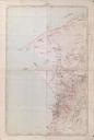
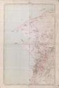
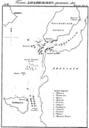
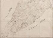
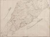
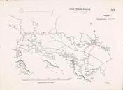
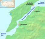
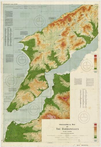
Orographical map of the Dardanelles reduced from captured Turkish maps. of land quality and use and gives magnetic variation Includes reference of Turkish words with English equivalencies Reduced from captured Turkish maps and annotated with location names used by the Allied forces Scale See Gallipoli Campaign State Library of