Related Images


Download:
| Tiny | 138x128 | View | Download |
| Small | 277x256 | View | Download |
| Medium | 554x512 | View | Download |
| Original | 624x576 | View | Download |
This image was acquired from
wikimedia. It was marked as Public Domain or CC0 and is free to use. To verify, go to the source and check the information there.
Looking for more info about this image?
Try a Google Reverse Image Search for it.
Try a Google Reverse Image Search for it.
Keywords from Image Description:
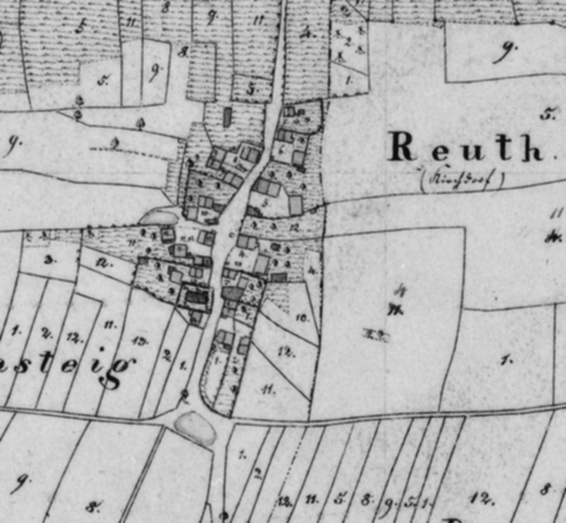
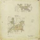
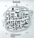
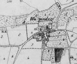
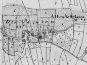
Ortsplan Reuth. Ortsplan Reuth Uraufnahme mit Hausnummern Karte NW des Bayerischen Landesvermessungsamtes Author PDold Reuth Historical maps of Neuendettelsau in Neuendettelsau Neuendettelsau