
Related Images


Download:
| Tiny | 155x128 | View | Download |
| Small | 310x256 | View | Download |
| Medium | 620x512 | View | Download |
| Large | 1241x1024 | View | Download |
| Original | 6491x5355 | View | Download |
This image was acquired from
wikimedia. It was marked as Public Domain or CC0 and is free to use. To verify, go to the source and check the information there.
Looking for more info about this image?
Try a Google Reverse Image Search for it.
Try a Google Reverse Image Search for it.
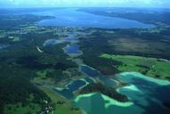
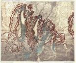
Keywords from Image Description:
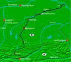
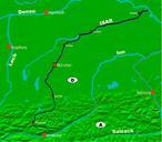
Osterseen and IsarVorlandgletscher Map. Map of the Osterseen Lake area and the prehistoric IsarLoisachGlacier in southern Bavaria below the alps showing the maximum reach of the glacier at the end of the latest ice age morains and other glacial morphological objects and the glacial lakes appearing from the melting glacier All lakes