
Related Images


Download:
| Tiny | 280x128 | View | Download |
| Small | 561x256 | View | Download |
| Medium | 1123x512 | View | Download |
| Large | 2246x1024 | View | Download |
| Original png | 5024x2290 | View | Download |
| Original as jpg | 5024x2290 | View | Download |
This image was acquired from
wikimedia. It was marked as Public Domain or CC0 and is free to use. To verify, go to the source and check the information there.
Looking for more info about this image?
Try a Google Reverse Image Search for it.
Try a Google Reverse Image Search for it.
Keywords from Image Description:
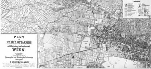
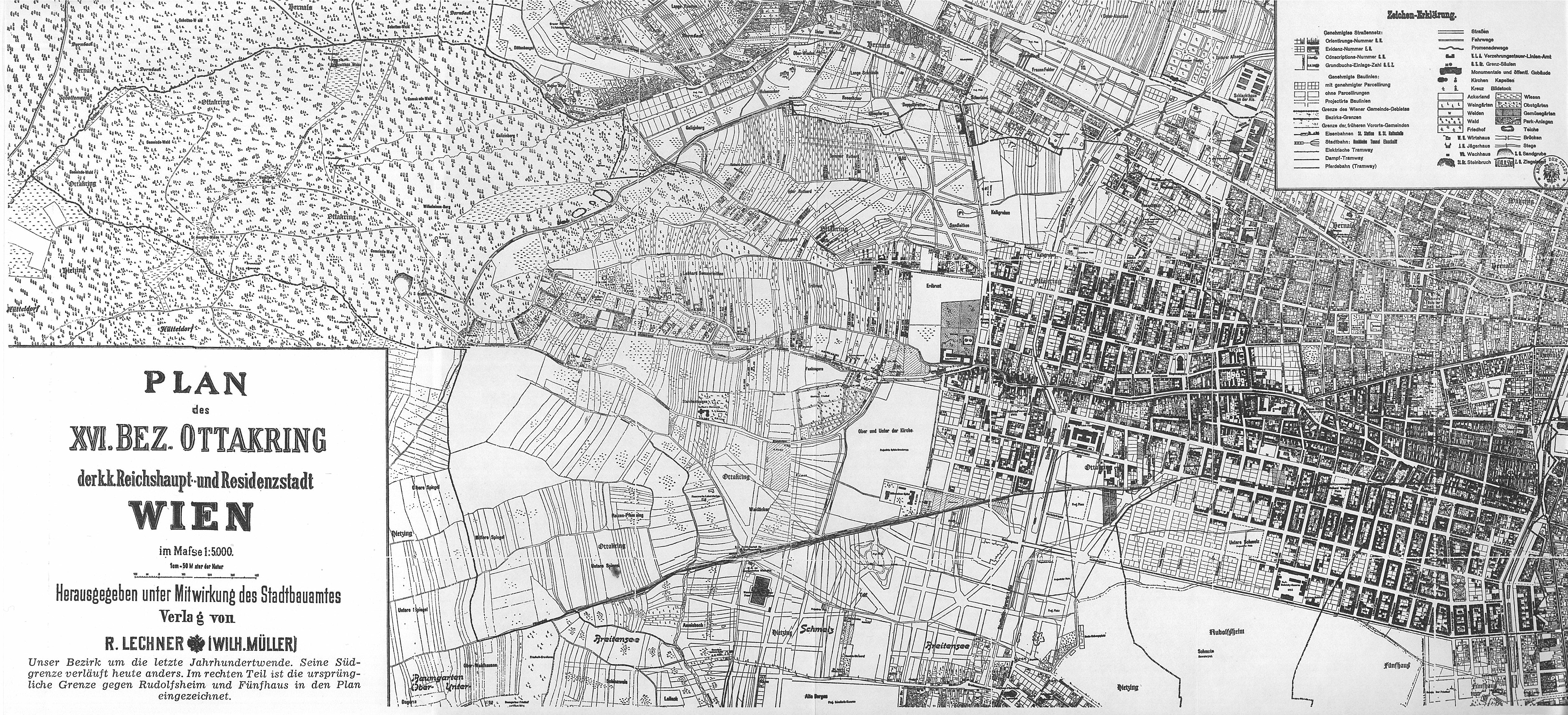
Ottakring. Erster Plan des neuen Wiener Gemeindebezirks OTTAKRING First map of the new district in Vienna OTTAKRING Karl ZIAK Von der Schmelz auf den Gallitzinberg Verlag Jugend Volk Wien map this publication scanned Aug Lechner Wien Quelle Archiv der Stadt Wien pdold Google Earth connection www gallery at kmz PDold Old maps