
Related Images


Download:
| Tiny | 175x128 | View | Download |
| Small | 350x256 | View | Download |
| Medium | 700x512 | View | Download |
| Original svg | 800x585 | View | Download |
| Original as jpg | 800x585 | View | Download |
This image was acquired from
wikimedia. It was marked as Public Domain or CC0 and is free to use. To verify, go to the source and check the information there.
Looking for more info about this image?
Try a Google Reverse Image Search for it.
Try a Google Reverse Image Search for it.
Keywords from Image Description:
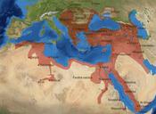
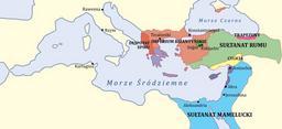
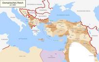
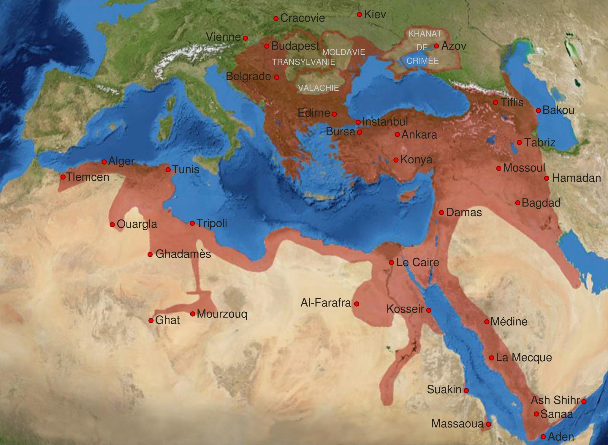
Ottoman Empire th centuryfr.svg en Map of the Ottoman Empire at its greatest extent at the end of the th century de Karte des Osmanischen Reiches in seiner grten Ausdehnung am Ende des Jahrhunderts ca rectified since Stier dir Westermann Grosser Atlas zur Weltgeschichte ISBN pp fr Carte de l'Empire Ottoman son apoge