
Related Images


Download:
| Tiny | 144x128 | View | Download |
| Small | 289x256 | View | Download |
| Medium | 578x512 | View | Download |
| Large | 1156x1024 | View | Download |
| Original tiff | 6096x5398 | View | Download |
| Original as jpg | 6096x5398 | View | Download |
This image was acquired from
wikimedia. It was marked as Public Domain or CC0 and is free to use. To verify, go to the source and check the information there.
Looking for more info about this image?
Try a Google Reverse Image Search for it.
Try a Google Reverse Image Search for it.
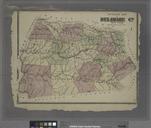
Keywords from Image Description:
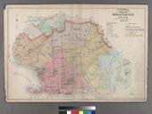
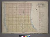
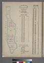
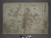
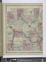
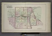
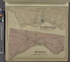
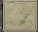
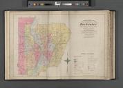
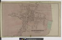
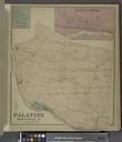
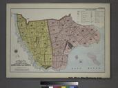
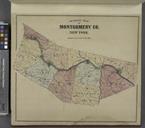
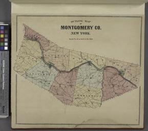
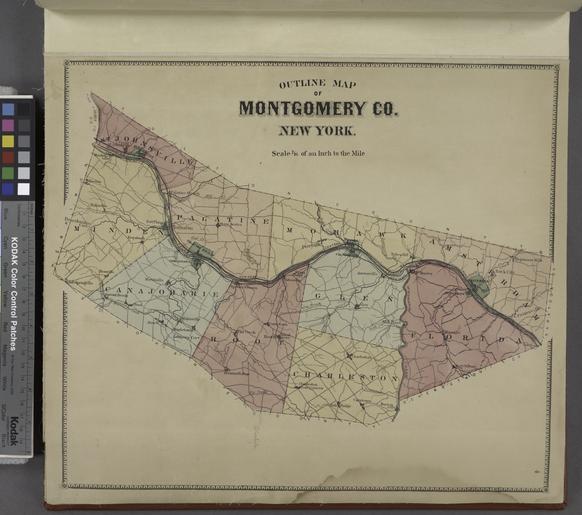
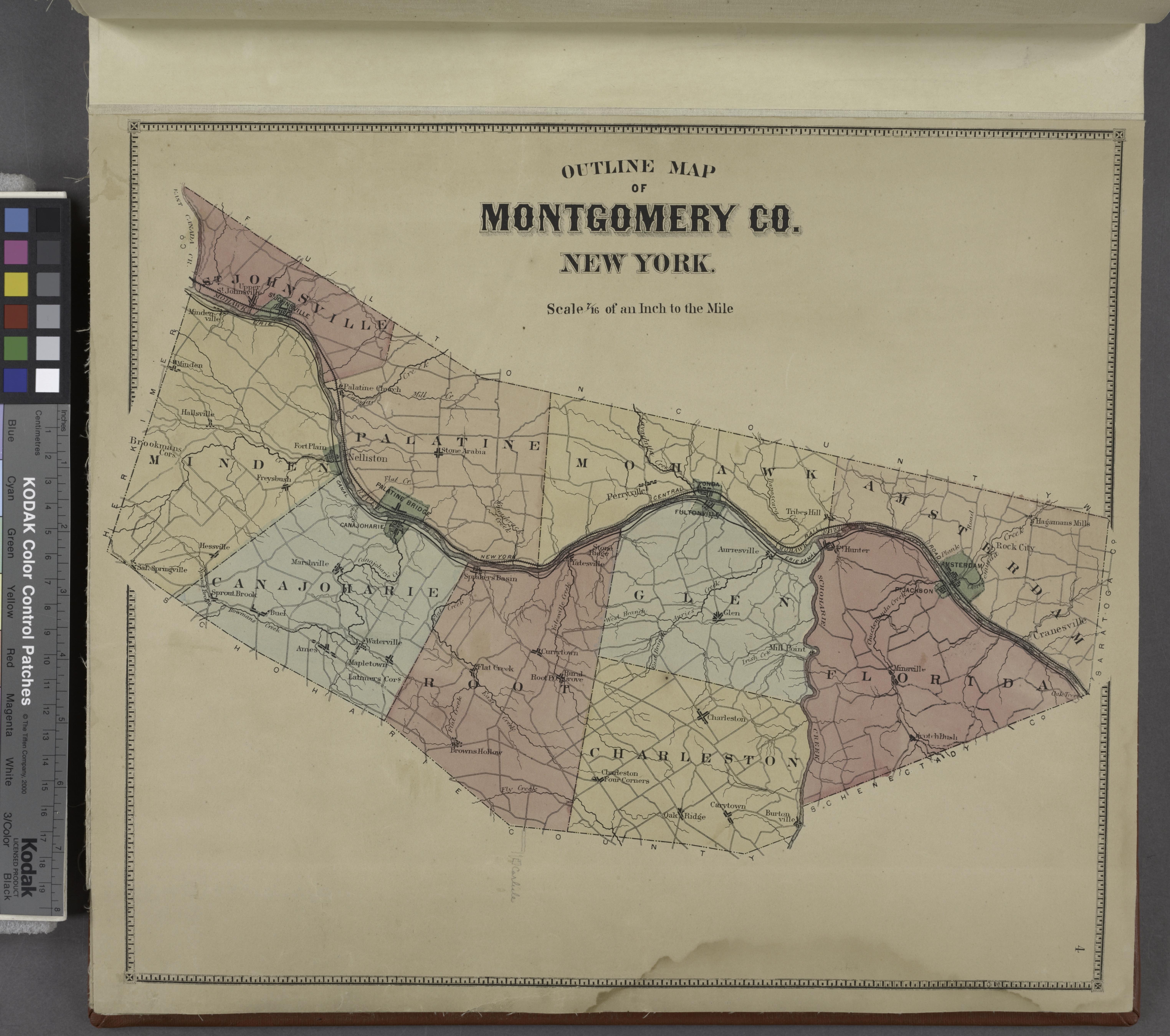
Outline Map of Montgomery Co. New York. NYPL. Outline Map of Montgomery Co New York Atlases of the United States New York Atlas of Montgomery and Fulton counties New York From actual surveys by and under the direction of Nichols assisted by Stranahan et al leaves of plates col maps fold cm Information field Location Stephen