Download:
| Tiny | 84x128 | View | Download |
| Small | 168x256 | View | Download |
| Medium | 336x512 | View | Download |
| Original png | 659x1002 | View | Download |
| Original as jpg | 659x1002 | View | Download |
This image was acquired from
wikimedia. It was marked as Public Domain or CC0 and is free to use. To verify, go to the source and check the information there.
Looking for more info about this image?
Try a Google Reverse Image Search for it.
Try a Google Reverse Image Search for it.
Keywords from Image Description:
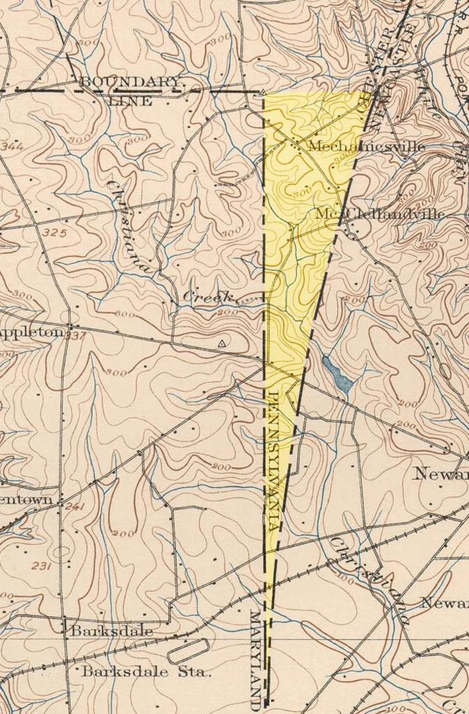
PADelawarewedge. An United States Geological Survey view of the Elkton Maryland quadrangle showing the wedge area between Delaware and Maryland This wedge of land resulting from surveying oddities in colonial times was the space left between the North LineMaryland's eastern borderand the TwelveMile CircleDelaware's western border
