Related Images


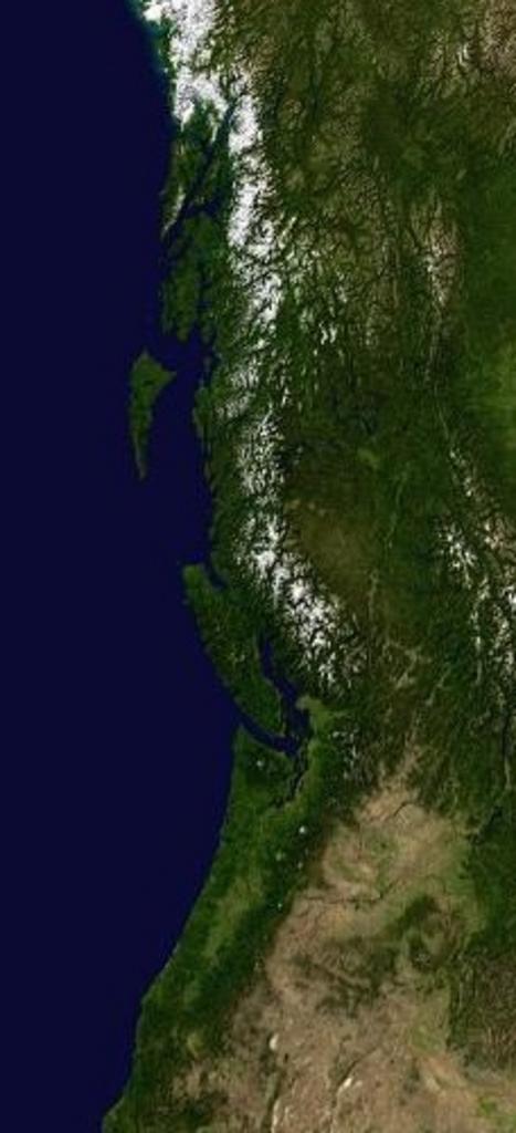
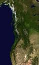
This image was acquired from
wikimedia. It was marked as Public Domain or CC0 and is free to use. To verify, go to the source and check the information there.
Looking for more info about this image?
Try a Google Reverse Image Search for it.
Try a Google Reverse Image Search for it.
Keywords from Image Description:
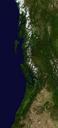
PacNW satellite cropped. Cropped from Image PacNW satellite with tighter view of BC Washington and Oregon PacNWsatellite UTC PacNWsatellite SebastianHelm en derivative work Hike Original image PDUSGov Cropping cczero Original upload log This image is derivative work of the following images File PacNWsatellite with Ccpdmarkfooter