Related Images


Download:
| Tiny | 211x128 | View | Download |
| Small | 422x256 | View | Download |
| Medium | 844x512 | View | Download |
| Large | 1689x1024 | View | Download |
| Original png | 2560x1552 | View | Download |
| Original as jpg | 2560x1552 | View | Download |
This image was acquired from
wikimedia. It was marked as Public Domain or CC0 and is free to use. To verify, go to the source and check the information there.
Looking for more info about this image?
Try a Google Reverse Image Search for it.
Try a Google Reverse Image Search for it.
Keywords from Image Description:
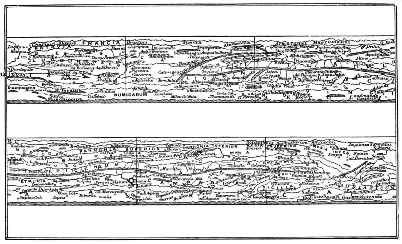
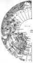
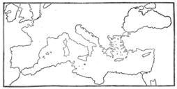
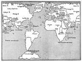
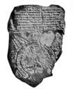
Page of Story of geographical discovery Jacobs. in that work states Peutinger Table Western Part This is the only Roman map extant it gives lines of roads from the eastern shores of Britain to the Adriatic Sea It is really kind of bird'seye view taken from the African coast The Mediterranean runs as thin strip through the lower