
Related Images

Download:
| Tiny | 209x128 | View | Download |
| Small | 419x256 | View | Download |
| Medium | 839x512 | View | Download |
| Large | 1678x1024 | View | Download |
| Original tiff | 7230x4410 | View | Download |
| Original as jpg | 7230x4410 | View | Download |
This image was acquired from
wikimedia. It was marked as Public Domain or CC0 and is free to use. To verify, go to the source and check the information there.
Looking for more info about this image?
Try a Google Reverse Image Search for it.
Try a Google Reverse Image Search for it.
Keywords from Image Description:
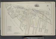
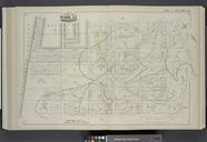
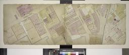
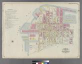
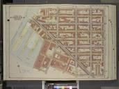
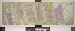
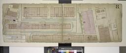
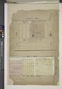
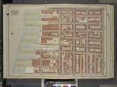
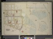
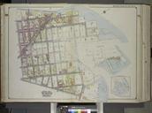
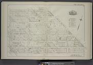
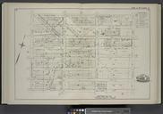
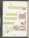
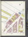
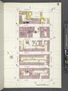
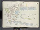
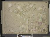
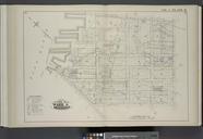
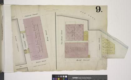
Page Plate No. Map bounded by Conover St. Ferris St. King St Including Van Brunt St. Reid St. NYPL. Page Plate No Map bounded by Conover St Ferris St King St Including Van Brunt St Reid St Atlases of New York city Insurance maps of the warehouses etc in Brooklyn from the Navy yard to Partition Street double maps col cm Information