
Related Images


Download:
| Tiny | 180x128 | View | Download |
| Small | 361x256 | View | Download |
| Medium | 722x512 | View | Download |
| Large | 1445x1024 | View | Download |
| Original | 8195x5804 | View | Download |
This image was acquired from
wikimedia. It was marked as Public Domain or CC0 and is free to use. To verify, go to the source and check the information there.
Looking for more info about this image?
Try a Google Reverse Image Search for it.
Try a Google Reverse Image Search for it.
Keywords from Image Description:
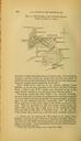
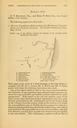
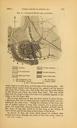
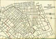
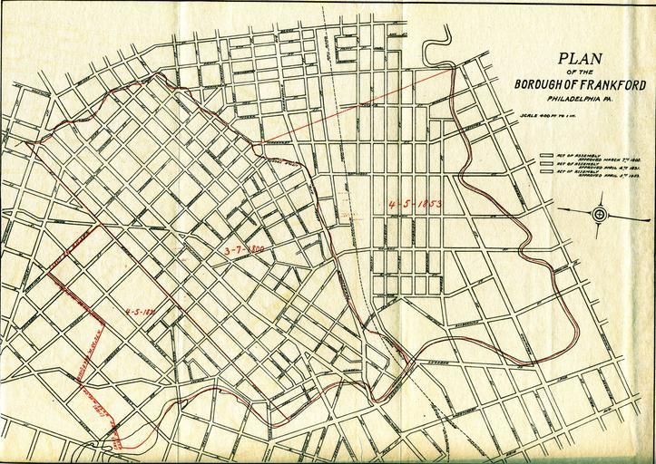
Papers Read Vol. No. page Map. FRANKFORD'S BOUNDARIES IN THE PAST AND IN THE FUTURE Read before the Historical Society of Frankford Jan This map shows the path of the Little Tacony Creek which still flows beneath the streets and where it connects to the Frankford Creek Transferred from org en by SreeBot talkno FRANKFORD'S