Download:
| Tiny | 139x128 | View | Download |
| Small | 278x256 | View | Download |
| Medium | 557x512 | View | Download |
| Large | 1114x1024 | View | Download |
| Original svg | 1927x1770 | View | Download |
| Original as jpg | 1927x1770 | View | Download |
This image was acquired from
wikimedia. It was marked as Public Domain or CC0 and is free to use. To verify, go to the source and check the information there.
Looking for more info about this image?
Try a Google Reverse Image Search for it.
Try a Google Reverse Image Search for it.
Keywords from Image Description:
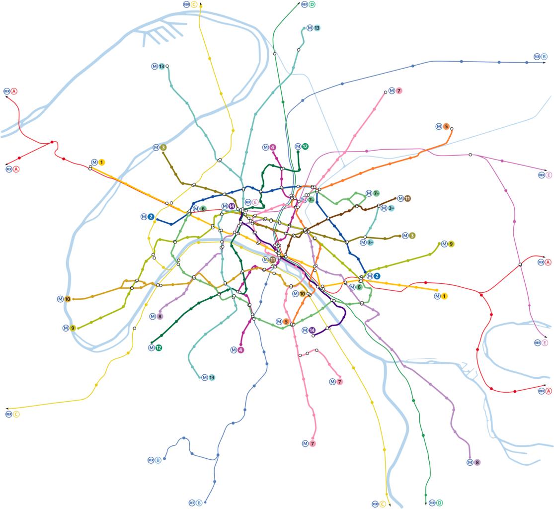
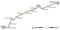
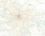
Paris Metro map.svg Paris metro network pictured at geographically accurate scale Plan du mtro de Paris en repectant les proportions gographiques RER Vectorisation of Image Paris Metro map User Pmx thumb Bitmap versionthumb With names Created with Inkscape Atelier graphique SVG maps of the Paris Metro Network maps of
