Download:
| Tiny | 177x128 | View | Download |
| Small | 354x256 | View | Download |
| Medium | 708x512 | View | Download |
| Large | 1416x1024 | View | Download |
| Original tiff | 7230x5228 | View | Download |
| Original as jpg | 7230x5228 | View | Download |
This image was acquired from
wikimedia. It was marked as Public Domain or CC0 and is free to use. To verify, go to the source and check the information there.
Looking for more info about this image?
Try a Google Reverse Image Search for it.
Try a Google Reverse Image Search for it.
Keywords from Image Description:
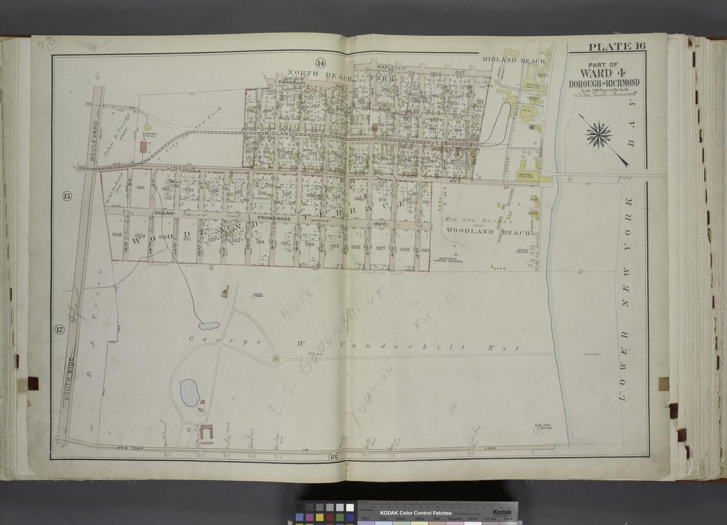
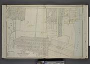
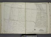
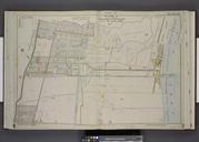
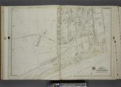
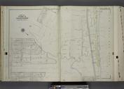
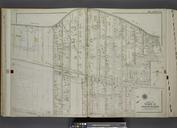
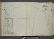
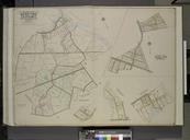
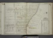
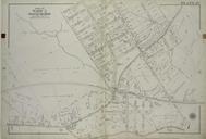
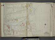
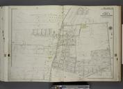
Part of Ward . Map bound by Franklin Ave th St Maple Ave Midland Beach Lower New York Bay New Dorp Lane South Side Boulevard NYPL. Part of Ward Map bound by Franklin Ave th St Maple Ave Midland Beach Lower New York Bay New Dorp Lane South Side Boulevard Atlases of New York city Atlas of the city of New York borough of Richmond
