Related Images


Download:
| Tiny | 177x128 | View | Download |
| Small | 354x256 | View | Download |
| Medium | 708x512 | View | Download |
| Large | 1416x1024 | View | Download |
| Original tiff | 7230x5228 | View | Download |
| Original as jpg | 7230x5228 | View | Download |
This image was acquired from
wikimedia. It was marked as Public Domain or CC0 and is free to use. To verify, go to the source and check the information there.
Looking for more info about this image?
Try a Google Reverse Image Search for it.
Try a Google Reverse Image Search for it.
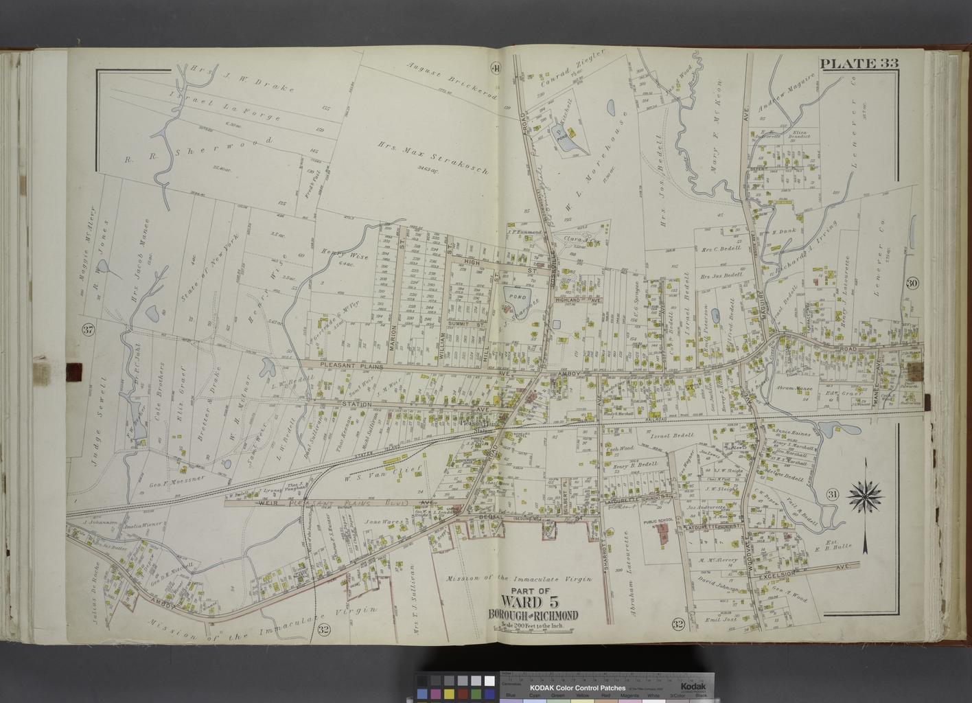
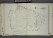
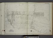
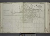
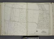
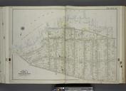
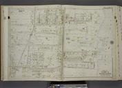
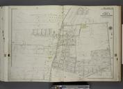
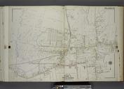
Keywords from Image Description:
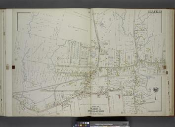
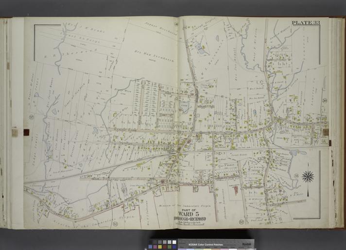
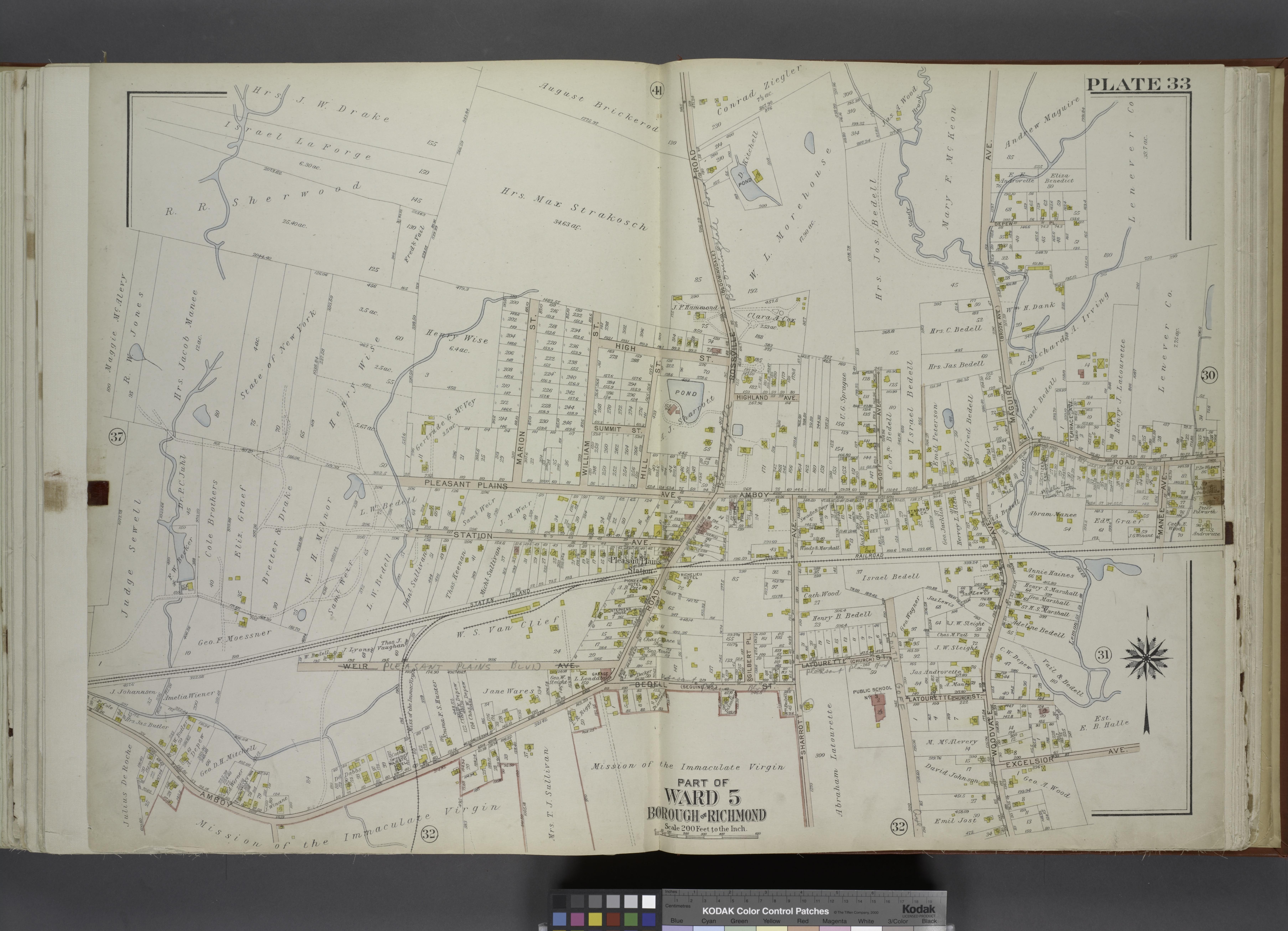
Part of Ward . Map bound by Pleasant Plains Ave Marion St William St High St Rossville Road Bloomingsdale Amboy Road Maguire Ave Brook Ave Manee Ave Staten Island Rail Road NYPL. Part of Ward Map bound by Pleasant Plains Ave Marion St William St High St Rossville Road Bloomingsdale Amboy Road Maguire Ave Brook Ave Manee Ave Staten