
Related Images


Download:
| Tiny | 139x128 | View | Download |
| Small | 278x256 | View | Download |
| Medium | 556x512 | View | Download |
| Large | 1113x1024 | View | Download |
| Original | 3597x3308 | View | Download |
This image was acquired from
wikimedia. It was marked as Public Domain or CC0 and is free to use. To verify, go to the source and check the information there.
Looking for more info about this image?
Try a Google Reverse Image Search for it.
Try a Google Reverse Image Search for it.
Keywords from Image Description:
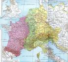
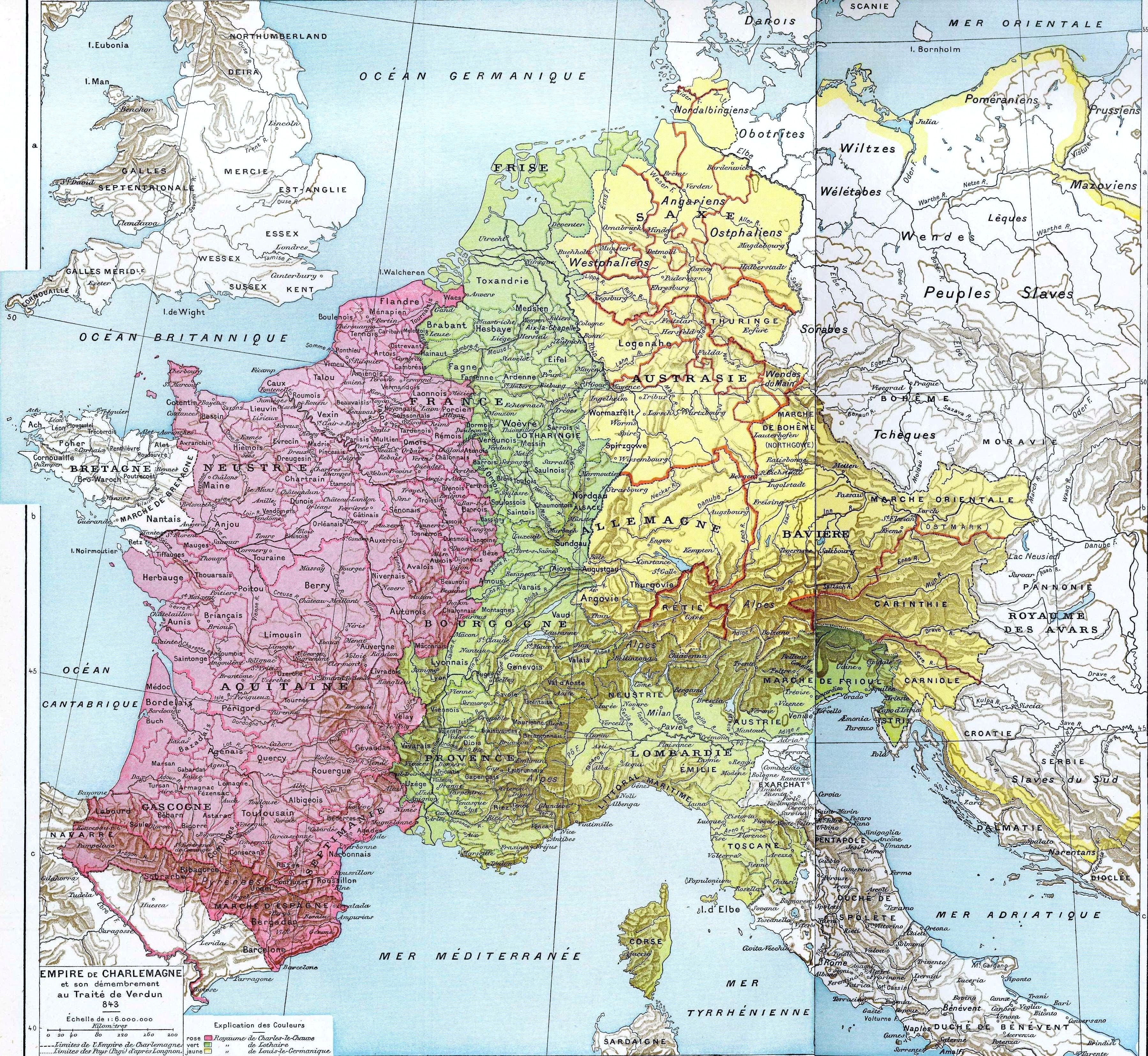
Partage de l'Empire carolingien au Trait de Verdun en . Empire de Charlemagne et son dmembrement au Trait de Verdun en Pink area indicates West Francia Green area indicates Middle Francia Yellow area indicates East Francia Histoire Et Gographie Atlas Gnral VidalLablache Librairie Armand Colin Paris Scan made by Olahus PDold Maps