
Related Images

Download:
| Tiny | 222x128 | View | Download |
| Small | 445x256 | View | Download |
| Medium | 890x512 | View | Download |
| Large | 1781x1024 | View | Download |
| Original svg | 4950x2845 | View | Download |
| Original as jpg | 4950x2845 | View | Download |
This image was acquired from
wikimedia. It was marked as Public Domain or CC0 and is free to use. To verify, go to the source and check the information there.
Looking for more info about this image?
Try a Google Reverse Image Search for it.
Try a Google Reverse Image Search for it.
Keywords from Image Description:
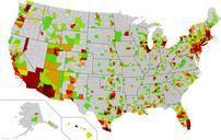
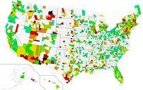
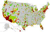
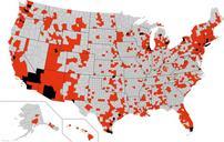
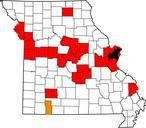
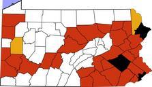
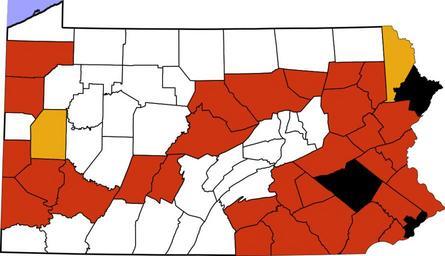
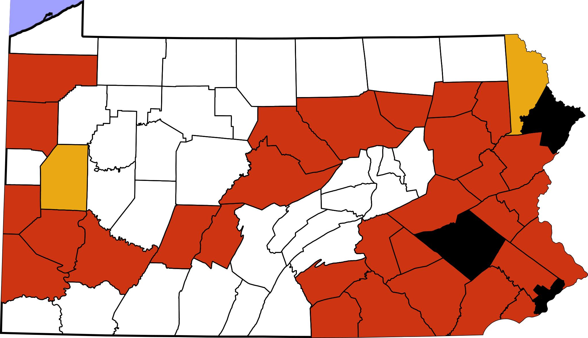
Pennsylvania swine flu map.svg This map shows swineorigin pandemic flu cases in Pennsylvania It is copy for convenience of the data that is updated daily at health state pa us This is modification of map from David Benbennick see Commons United States county locator maps to which style and class tags have been added to make it