
Related Images


Download:
| Tiny | 168x128 | View | Download |
| Small | 337x256 | View | Download |
| Medium | 674x512 | View | Download |
| Large | 1348x1024 | View | Download |
| Original | 2735x2077 | View | Download |
This image was acquired from
wikimedia. It was marked as Public Domain or CC0 and is free to use. To verify, go to the source and check the information there.
Looking for more info about this image?
Try a Google Reverse Image Search for it.
Try a Google Reverse Image Search for it.
Keywords from Image Description:
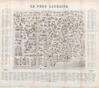
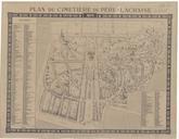
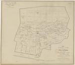
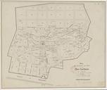
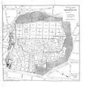
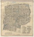
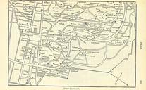
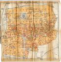
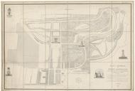
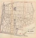
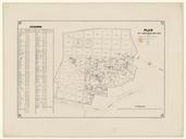
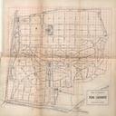
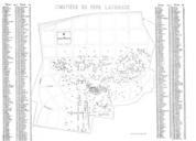
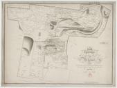
PreLachaise Plan . Plan topographique du Cimetire de l'Est dit du Pre La Chaise prsentant l'indication exacte du placement de plus de mausoles tombeaux et monumens funbres GiraldonBovinet ark map date yes print date accession number other versions PDold Maps of the PreLachaise Cemetery PreLachaise Cemetery in the th century