Related Images


Download:
| Tiny | 184x128 | View | Download |
| Small | 368x256 | View | Download |
| Medium | 737x512 | View | Download |
| Original | 882x612 | View | Download |
This image was acquired from
wikimedia. It was marked as Public Domain or CC0 and is free to use. To verify, go to the source and check the information there.
Looking for more info about this image?
Try a Google Reverse Image Search for it.
Try a Google Reverse Image Search for it.
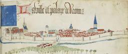
Keywords from Image Description:
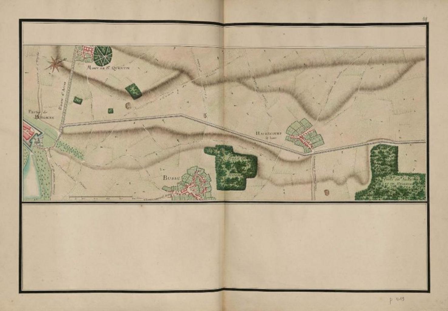
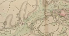
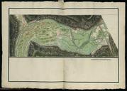
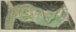
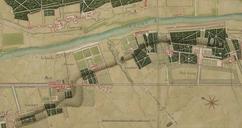
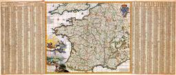
Peronneatlas trudaine XVIIIe sicle gnralit d'Amiens vol. II. en Trudaine atlas area of Pronne Somme departement France XVIIIe map fr Atlas de Trudaine XVIIIe sicle environs de Pronne Somme On voit le Mont SaintQuentin avec le monastre Saint Quentin entre la voie du Mont et la route d'Arras Atlas de Trudaine Custom marker