
Related Images


This image was acquired from
wikimedia. It was marked as Public Domain or CC0 and is free to use. To verify, go to the source and check the information there.
Looking for more info about this image?
Try a Google Reverse Image Search for it.
Try a Google Reverse Image Search for it.
Keywords from Image Description:
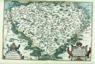
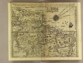
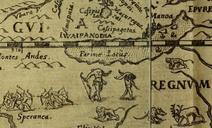
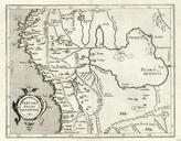
Peruvani Regni Descriptio. Peruvani Regni Descriptio map of the Spanish colonial Viceroyalty of Per Virreinato del Per Map by Cornelis van Wytfliet Louvain PDArt Old maps of Peru maps Old maps of the Viceroyalty of Peru Peru in the th century Maps by Cornelius van Wytfliet Artworks missing infobox template