
Related Images


Download:
| Tiny | 80x128 | View | Download |
| Small | 160x256 | View | Download |
| Medium | 320x512 | View | Download |
| Large | 641x1024 | View | Download |
| Original | 1880x3000 | View | Download |
This image was acquired from
wikimedia. It was marked as Public Domain or CC0 and is free to use. To verify, go to the source and check the information there.
Looking for more info about this image?
Try a Google Reverse Image Search for it.
Try a Google Reverse Image Search for it.
Keywords from Image Description:
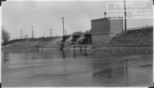
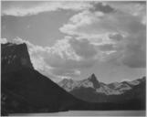
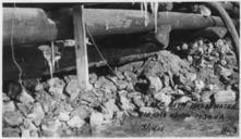
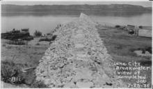
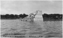
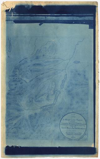
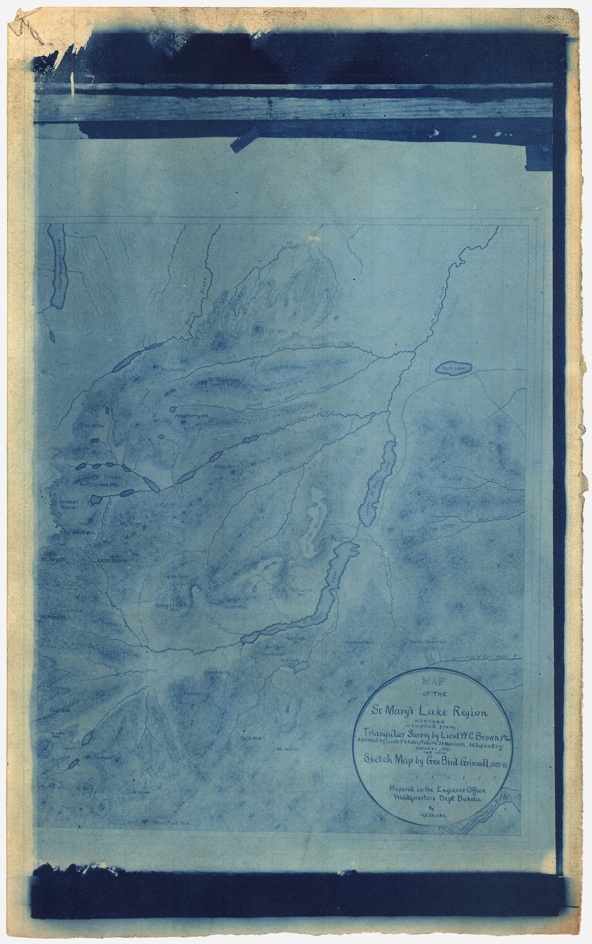
Photograph of Map of the St. Mary's Lake Region Montana. NARA . Scope and content General notes Local identifier War Department Division of the Missouri Department of the Platte NARA's Great Lakes Region Chicago NRDA South Pulaski Road Chicago IL Record group Record Group Records of the Office of the Chief of Engineers