
Related Images


Download:
| Tiny | 106x128 | View | Download |
| Small | 213x256 | View | Download |
| Medium | 427x512 | View | Download |
| Large | 854x1024 | View | Download |
| Original png | 1051x1259 | View | Download |
| Original as jpg | 1051x1259 | View | Download |
This image was acquired from
wikimedia. It was marked as Public Domain or CC0 and is free to use. To verify, go to the source and check the information there.
Looking for more info about this image?
Try a Google Reverse Image Search for it.
Try a Google Reverse Image Search for it.
Keywords from Image Description:
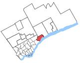
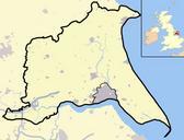
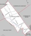
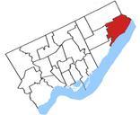
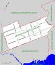
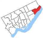
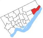
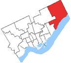
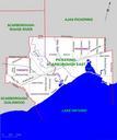
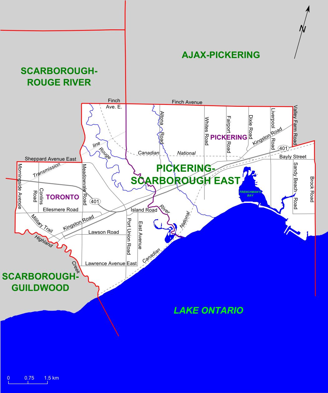
PickeringScarborough East riding map. Map of the Ontario federal and provincial riding of PickeringScarborough East boundaries defined in adopted federally in and provincially in Selfmade based on elections ca asp ED map at Elections Canada web site Slyguy Maps of Pickering Ontario Maps of Ontario federal electoral districts