
Related Images


Download:
| Tiny | 106x128 | View | Download |
| Small | 213x256 | View | Download |
| Medium | 427x512 | View | Download |
| Large | 855x1024 | View | Download |
| Original | 10913x13055 | View | Download |
This image was acquired from
wikimedia. It was marked as Public Domain or CC0 and is free to use. To verify, go to the source and check the information there.
Looking for more info about this image?
Try a Google Reverse Image Search for it.
Try a Google Reverse Image Search for it.
Keywords from Image Description:
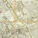
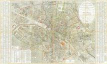
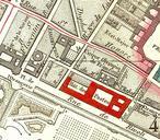
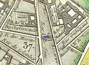
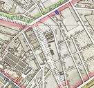
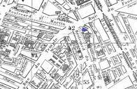
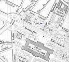
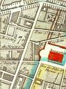
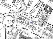
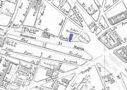
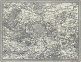
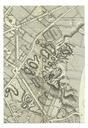
Picquet map of Paris of Chicago left half dpi. LargeImage en Western half of the Route plan of the city of Paris divided into XII arrondissements or municipalities and quarters new corrected edition published by the French cartographer Charles Picquet in map hand colored cm scale dpi fr Plan routier de la ville de Paris