
Related Images


Download:
| Tiny | 185x128 | View | Download |
| Small | 371x256 | View | Download |
| Medium | 743x512 | View | Download |
| Original | 973x670 | View | Download |
This image was acquired from
wikimedia. It was marked as Public Domain or CC0 and is free to use. To verify, go to the source and check the information there.
Looking for more info about this image?
Try a Google Reverse Image Search for it.
Try a Google Reverse Image Search for it.
Keywords from Image Description:
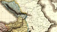
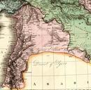
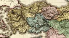
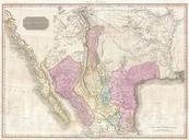
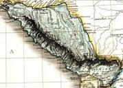
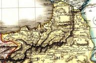
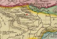
PinkertonCotagaita. es Alto Per Santiago de Cotagaita Detalle de un mapa de las Provincias Unidas en Atlas de Cadell Davies Strand Longman Hurst Rees Orme Brown Paternoster Row Creator John Pinkerton History of Argentina from Independence to the Constitution of Maps by John Pinkerton PDold