
Related Images


Download:
| Tiny | 128x128 | View | Download |
| Small | 256x256 | View | Download |
| Medium | 512x512 | View | Download |
| Large | 1024x1024 | View | Download |
| Original png | 2560x2560 | View | Download |
| Original as jpg | 2560x2560 | View | Download |
This image was acquired from
wikimedia. It was marked as Public Domain or CC0 and is free to use. To verify, go to the source and check the information there.
Looking for more info about this image?
Try a Google Reverse Image Search for it.
Try a Google Reverse Image Search for it.
Keywords from Image Description:
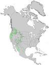
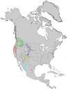
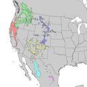
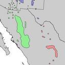
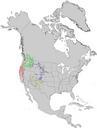
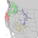
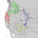
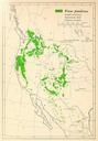
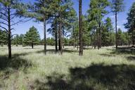
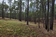
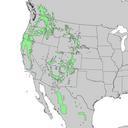
Pinus ponderosa arizonica range map . en Natural distribution map for Pinus ponderosa Note that the southern populations in Mexico southern Arizona southern New Mexica and Texas are now usually treaded as Pinus arizonica cr usgs gov USGS Geosciences and Environmental Change Science Center Digital Representations of Tree Species