Related Images


Download:
| Tiny | 222x128 | View | Download |
| Small | 444x256 | View | Download |
| Medium | 888x512 | View | Download |
| Original | 1187x684 | View | Download |
This image was acquired from
wikimedia. It was marked as Public Domain or CC0 and is free to use. To verify, go to the source and check the information there.
Looking for more info about this image?
Try a Google Reverse Image Search for it.
Try a Google Reverse Image Search for it.
Keywords from Image Description:
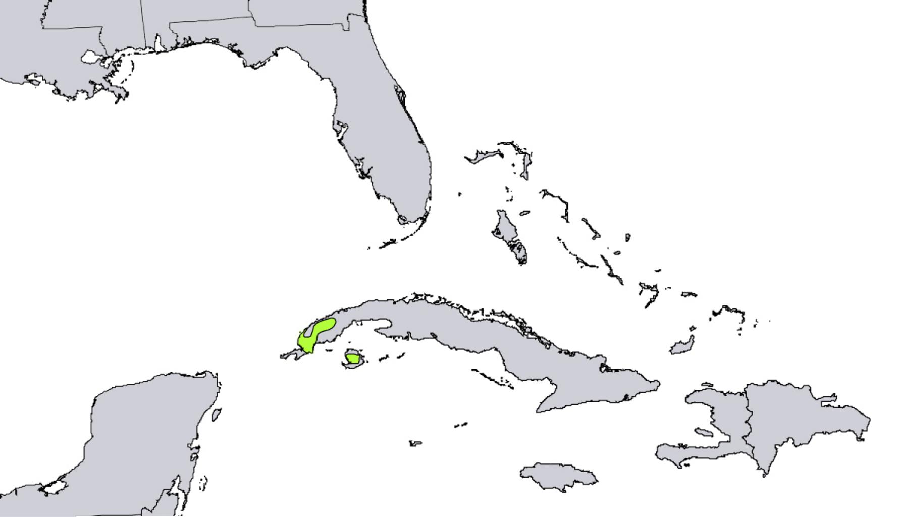
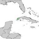
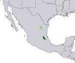
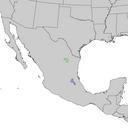
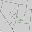
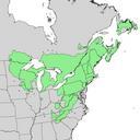
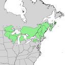
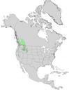
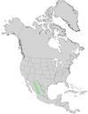
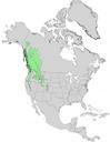
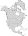
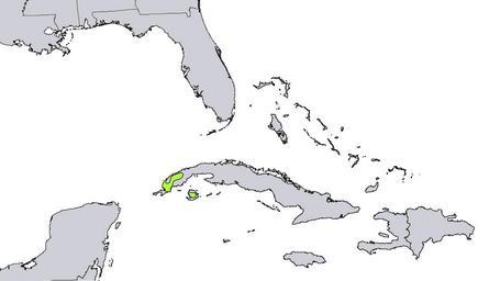
Pinus tropicalis range map. Range map of Pinus tropicalis' Digital representation of Atlas of United States Trees by Elbert Little Jr cr usgs gov Geological Survey PDUSGovInteriorUSGS PDUSGov Original upload log page en Pinustropicalisrangemap Upload date User Bytes Dimensions Comment Pinethicket no Summary Range map of