
Related Images
Download:
| Tiny | 188x128 | View | Download |
| Small | 376x256 | View | Download |
| Medium | 752x512 | View | Download |
| Large | 1505x1024 | View | Download |
| Original | 1799x1224 | View | Download |
This image was acquired from
wikimedia and wikimedia. It was marked as Public Domain or CC0 and is free to use. To verify, go to the source and check the information there.
Looking for more info about this image?
Try a Google Reverse Image Search for it.
Try a Google Reverse Image Search for it.
Keywords from Image Description:
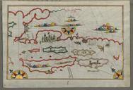
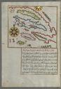
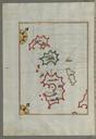
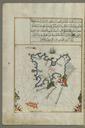
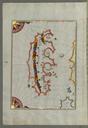
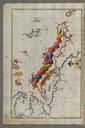
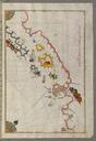
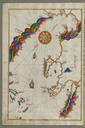
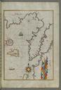
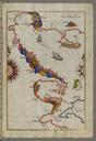
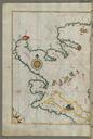
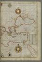
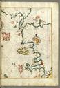
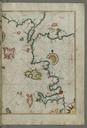
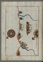
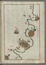
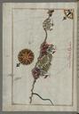
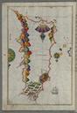
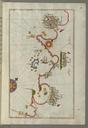
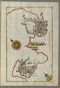
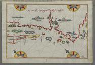
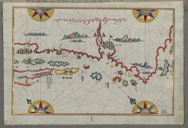
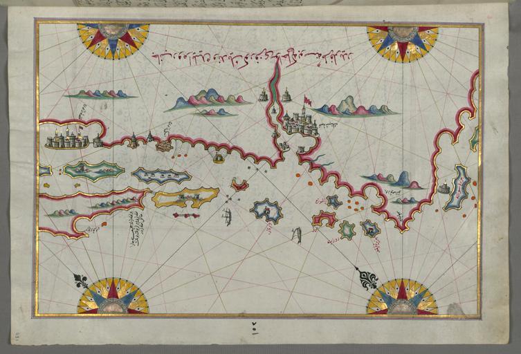
Piri Reis Map of the Coastline and the Islands Between ibenik and Zadar Walters WA Full Page. Piri Reis Map of Group of Islands North of Korcula Probably Hvar and Brac Walters WA Full Page Piri Reis Map of the Coastline and the Islands Off Zadar Walters WA Full Page rtl This folio from Walters manuscript contains map of