
Related Images


Download:
| Tiny | 87x128 | View | Download |
| Small | 174x256 | View | Download |
| Medium | 348x512 | View | Download |
| Large | 697x1024 | View | Download |
| Original | 1226x1800 | View | Download |
This image was acquired from
wikimedia. It was marked as Public Domain or CC0 and is free to use. To verify, go to the source and check the information there.
Looking for more info about this image?
Try a Google Reverse Image Search for it.
Try a Google Reverse Image Search for it.
Keywords from Image Description:
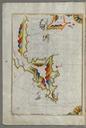
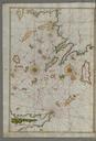
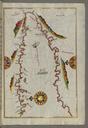
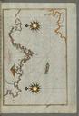
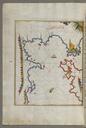
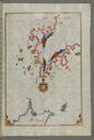
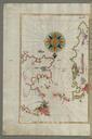
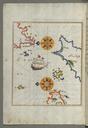
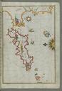
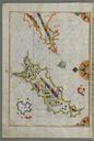
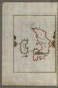
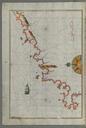
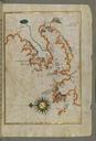
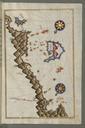
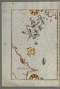
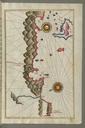
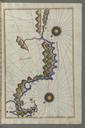
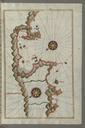
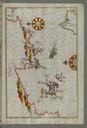
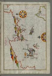
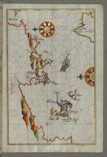
Piri Reis Map of the Northeastern Tip of Rhodes Island Facing the Anatolian Coast with the Island of Syme Walters WB Full Page. Piri Reis Map of Syme Island Northwest of Rhodes Island Walters WA Full Page Piri Reis Map of the Islands of the Aegean Sea Including Chios Cos Rhodes and Crete Walters WA Full Page rtl This folio


