
Related Images


Download:
| Tiny | 86x128 | View | Download |
| Small | 172x256 | View | Download |
| Medium | 345x512 | View | Download |
| Large | 691x1024 | View | Download |
| Original | 1215x1800 | View | Download |
This image was acquired from
wikimedia. It was marked as Public Domain or CC0 and is free to use. To verify, go to the source and check the information there.
Looking for more info about this image?
Try a Google Reverse Image Search for it.
Try a Google Reverse Image Search for it.
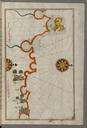
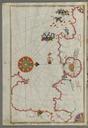
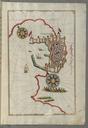
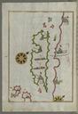
Keywords from Image Description:
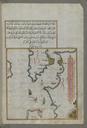
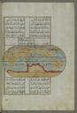
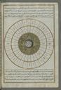
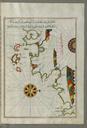
Piri Reis World Map in Double Hemisphere Walters WB Full Page. Piri Reis Map of the Upper Aegean Sea with the Islands of Imbros and Bozca Walters WB Full Page Piri Reis Oval World Map Walters WA Full Page rtl This folio from Walters manuscript contains world map in double hemisphere late th century AH th centuryearly th