
Related Images


Download:
| Tiny | 202x128 | View | Download |
| Small | 405x256 | View | Download |
| Medium | 811x512 | View | Download |
| Large | 1622x1024 | View | Download |
| Original | 4360x2752 | View | Download |
This image was acquired from
wikimedia. It was marked as Public Domain or CC0 and is free to use. To verify, go to the source and check the information there.
Looking for more info about this image?
Try a Google Reverse Image Search for it.
Try a Google Reverse Image Search for it.
Keywords from Image Description:
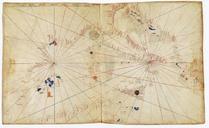
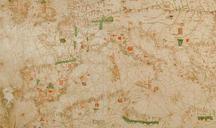
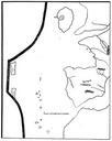
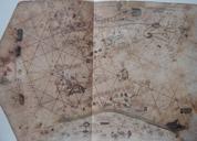
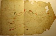
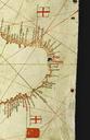
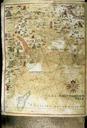
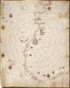
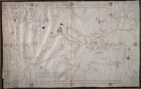
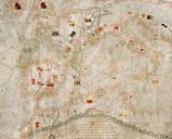
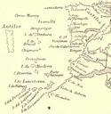
Pizzigano. en The Pizzigano map also known as the Pizzigano chart is an Italian portolan chart dated It contains islands in the North Atlantic Ocean in the west of Spain and Portugal including Portuguese discoveries and legendary islands such as Antillia The cartographer may have been the Venetian Zuane Pizigano possibly descendant