Related Images


Download:
| Tiny | 148x128 | View | Download |
| Small | 296x256 | View | Download |
| Medium | 592x512 | View | Download |
| Large | 1185x1024 | View | Download |
| Original tiff | 4615x3987 | View | Download |
| Original as jpg | 4615x3987 | View | Download |
This image was acquired from
wikimedia. It was marked as Public Domain or CC0 and is free to use. To verify, go to the source and check the information there.
Looking for more info about this image?
Try a Google Reverse Image Search for it.
Try a Google Reverse Image Search for it.
Keywords from Image Description:
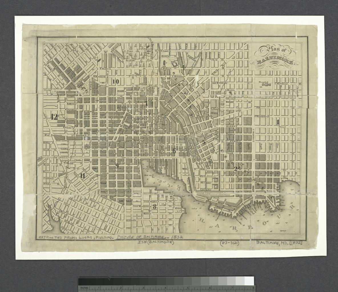
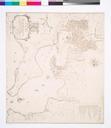
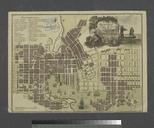
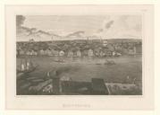
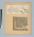
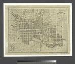
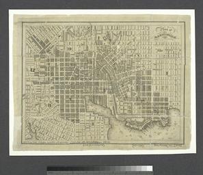
Plan of Baltimore NYPL b. en Depths shown by soundings From John Latrobe's Picture of Baltimore National Endowment for the Humanities Grant for Access to Early Maps of the Middle Atlantic Seaboard Shows ward numbers but not boundaries nypl org Scan by NYPL Plan of Baltimore Lucas jr Lionel Pincus and Princess Firyal Map Division