Related Images


Download:
| Tiny | 160x128 | View | Download |
| Small | 321x256 | View | Download |
| Medium | 643x512 | View | Download |
| Large | 1287x1024 | View | Download |
| Original | 15178x12075 | View | Download |
This image was acquired from
wikimedia. It was marked as Public Domain or CC0 and is free to use. To verify, go to the source and check the information there.
Looking for more info about this image?
Try a Google Reverse Image Search for it.
Try a Google Reverse Image Search for it.
Keywords from Image Description:
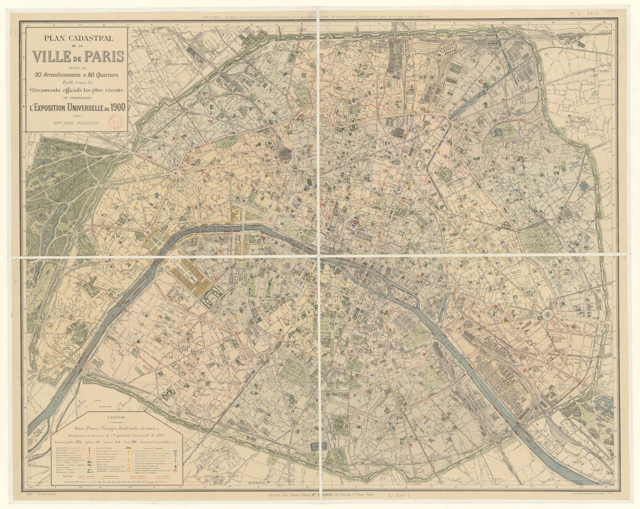
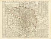
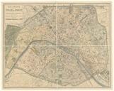
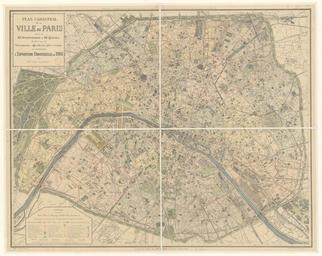
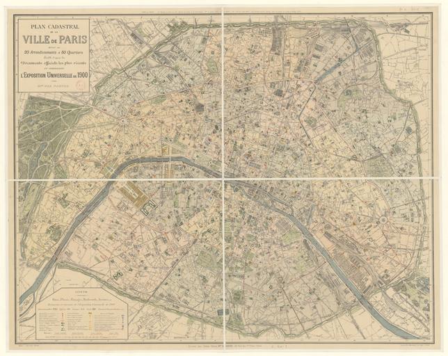
Plan cadastral de la ville de Paris . fr Plan cadastral de la ville de Paris tabli d'aprs les documents officiels les plus rcentes et comprenant l'Exposition universelle de par Mme Max Mabyre btvb Mme Maxime Mabyre other versions Custom marker PDold Maps of Paris in the th century maps