
Related Images


Download:
| Tiny | 106x128 | View | Download |
| Small | 212x256 | View | Download |
| Medium | 424x512 | View | Download |
| Large | 849x1024 | View | Download |
| Original | 1632x1968 | View | Download |
This image was acquired from
wikimedia. It was marked as Public Domain or CC0 and is free to use. To verify, go to the source and check the information there.
Looking for more info about this image?
Try a Google Reverse Image Search for it.
Try a Google Reverse Image Search for it.
Keywords from Image Description:
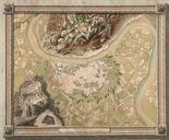
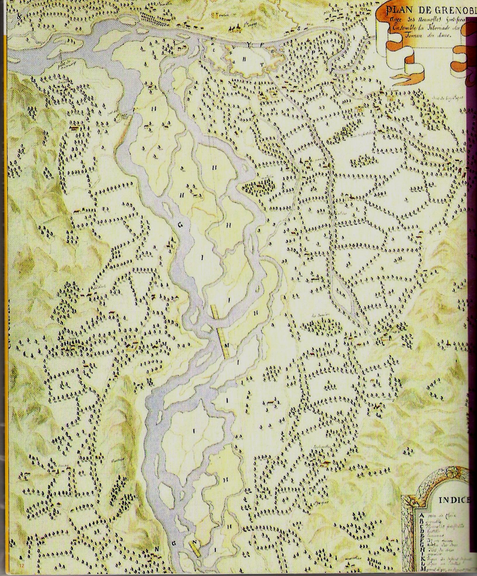
Plan de Grenoble. fr Plan de de Grenoble L'enceinte fortifie de la ville est en haut sur les bords de L'Isre La rivire Drac avait deux bras l'poque et rejoignait l'Isre au niveau de l'actuelle place Hubert Dubedout bibliothque municipale de Grenoble Author Maps of Grenoble Collections of the Bibliothque municipale de Grenoble