
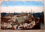
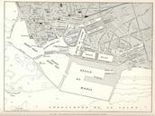
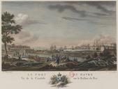
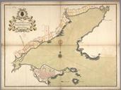
Related Images


Download:
| Tiny | 217x128 | View | Download |
| Small | 434x256 | View | Download |
| Medium | 869x512 | View | Download |
| Large | 1739x1024 | View | Download |
| Original | 2304x1356 | View | Download |
This image was acquired from
wikimedia. It was marked as Public Domain or CC0 and is free to use. To verify, go to the source and check the information there.
Looking for more info about this image?
Try a Google Reverse Image Search for it.
Try a Google Reverse Image Search for it.
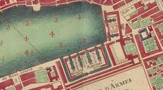
Keywords from Image Description:
Plan du port du Havre en . fr Plan du havre de ses fortifications et des environs en bnf fr ArianeWireIndex index lang FR ftypedoc cartes LeHavre gallica fr Inconnu ou anonyme PDold Uploaded with Maps of Le Havre History of Le Havre